Large airport · South Africa
O.R. Tambo International AirportFAOR
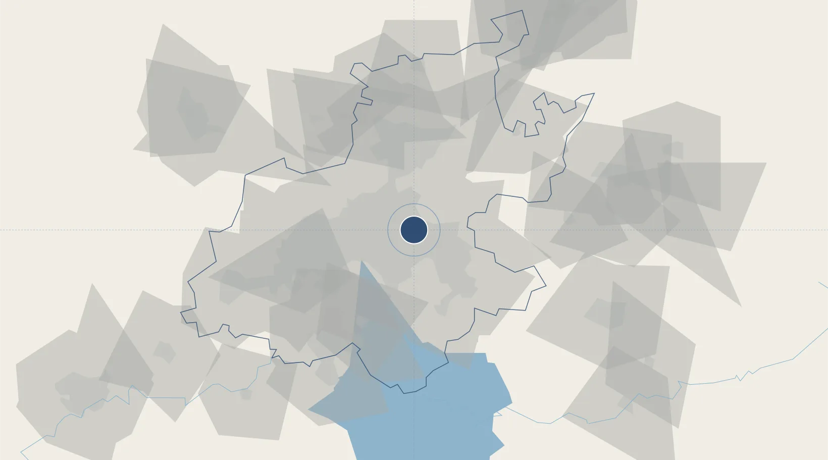
-26.1401°, 28.2468°
14,495 ft
Longest runway
2
Runways
5,558 ft
Elevation
Runway & Layout

Radio Frequencies
ATIS
126.2 MHz
TWR
118.1 MHz
Tower West
TWR
118.6 MHz
Tower East
GND
121.9 MHz
Ground
CLD
121.7 MHz
Clearance Delivery
APP
123.7 MHz
Radar West
APP
124.5 MHz
Radar East
GTE
122.65 MHz
Johannesburg Apron Control
Navaids
JB NDB Johannesburg 202 kHz
JSV VOR-DME Johannesburg 115.20 MHz
Runways · 2
| Runway | Dimensions | Surface | True heading | Lit |
|---|---|---|---|---|
| 03L/21R | 14,495 × 200ft | Asphalt | 014° | ✓ |
| 03R/21L | 11,155 × 197ft | Asphalt | 014° | ✓ |
Airport Specifications
IATA code
JNB
ICAO code
FAOR
Airport class
Large airport
Scheduled service
Yes
Runway surface
Asphalt
Served city
Johannesburg
Location
Nearby Logistics Neighbours
Airports
- 1Rand Airport15 km
- 2Grand Central Airport20 km
- 3Waterkloof Air Force Base35 km
- 4Swartkop Air Force Base38 km
- 5Lanseria International Airport39 km
Cities
- 1Bonaero Park3 km
- 2Jet Park3 km
- 3Witfield7 km
- 4Dunswart/Boksburg7 km
- 5Primrose9 km
Ports
- 1Maputo430 km
- 2Richards Bay482 km
- 3Durban498 km
- 4Inhambane762 km
- 5East London767 km
DatabookThe Record of Consolidated Knowledge
South Africa beyond logistics?