Free Trade Zone · South Africa

Tshwane Automotive Industrial Zone Active
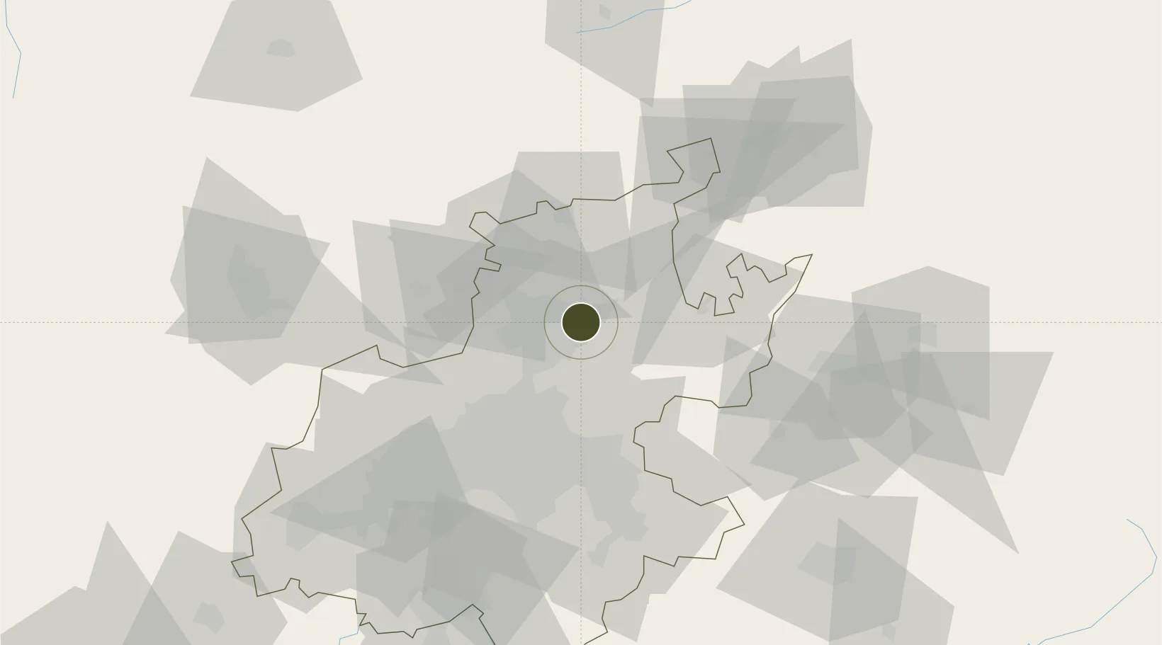
-25.7280°, 28.3202°
162 ha
Zone area
423.5 km
Nearest port
12.7 km
Nearest airport

Gateway access

Nearest neighbours — logibook spatial index (haversine) over the source coordinates

Zone profile

Zone type
Free Trade Zone
Open Zone Map
Region
Gauteng
Open Zone Map
Status
Active
Open Zone Map
Management
Public-Private Partnership
Open Zone Map
Operator
Gauteng Industrial Development Zone (GIDZ)
Open Zone Map
Legal framework
Proposed Extension of Tshwane Automotive SEZ Gazette No. 42956
Open Zone Map

Location

Location of ozm-4166
Natural Earth 10m (public domain) · Gauteng · ozm-4166 · -25.73, 28.32GoogleOSMYandex

Nearby Logistics Neighbours

Ports
  1. 1Maputo424 km
  2. 2Richards Bay507 km
  3. 3Durban534 km
  4. 4Inhambane742 km
  5. 5East London813 km
Nearest neighbours — logibook spatial index (haversine) over the source coordinates
Airports
  1. 1Wonderboom Airport13 km
  2. 2Waterkloof Air Force Base15 km
  3. 3Swartkop Air Force Base18 km
  4. 4Grand Central Airport34 km
  5. 5Lanseria International Airport46 km
Nearest neighbours — logibook spatial index (haversine) over the source coordinates
Cities
  1. 1Waltloo2 km
  2. 2Brummeria4 km
  3. 3Menlo Park5 km
  4. 4Lynnwood6 km
  5. 5Garsfontein7 km
Nearest neighbours — logibook spatial index (haversine) over the source coordinates
Trade Zones
  1. 1Babelegi Industrial Park42 km
  2. 2OR Tambo Industrial Development Zone46 km
  3. 3Bojanala (Platinum Valley) Special Economic Zone117 km
  4. 4Vaal Special Economic Zone119 km
  5. 5Tubatse Special Economic Zone209 km
Nearest neighbours — logibook spatial index (haversine) over the source coordinates
DatabookThe Record of Consolidated Knowledge
South Africa beyond logistics?
Browse databook

All Sources

Trade ZonesOpen Zone Map
CC BY
Portsthe NGA World Port Index
Public domain (US gov)
AirportsOurAirports
Public domain
LocationsUN/LOCODE
UN/LOCODE — free
← South Africa trade zones