Medium airport · South Africa
Rand AirportFAGM
-26.2425°, 28.1512°
5,617 ft
Longest runway
2
Runways
5,483 ft
Elevation
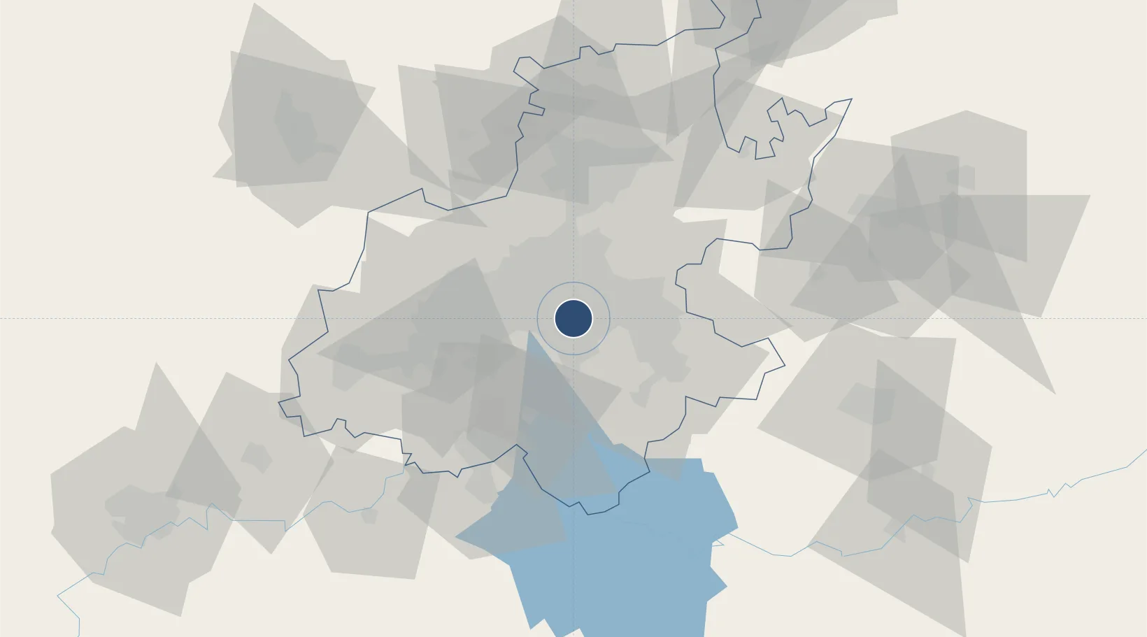
Runway & Layout

Radio Frequencies
TWR
118.7 MHz
APP
124.5 MHz
JOHANNESBURG APP
MISC
130.5 MHz
APRON OFFICE
Navaids
RA NDB Rand 338 kHz
RAV VOR-DME Rand 117.70 MHz
RD NDB Rand 308 kHz
RDW NDB Rand 288 kHz
Runways · 2
| Runway | Dimensions | Surface | True heading | Lit |
|---|---|---|---|---|
| 11/29 | 5,617 × 50ft | Asphalt | 089° | ✓ |
| 17/35 | 4,898 × 50ft | Asphalt | 158° | ✓ |
Airport Specifications
IATA code
QRA
ICAO code
FAGM
Airport class
Medium airport
Scheduled service
No
Runway surface
Asphalt
Served city
Johannesburg
Location
Nearby Logistics Neighbours
Airports
Cities
- 1Heriotdale/Johannesburg6 km
- 2Denver6 km
- 3Primrose7 km
- 4Kensington7 km
- 5Benrose7 km
Ports
- 1Maputo440 km
- 2Richards Bay483 km
- 3Durban494 km
- 4East London755 km
- 5Inhambane774 km
Trade Zones
DatabookThe Record of Consolidated Knowledge
South Africa beyond logistics?