UN/LOCODE hub · South Africa
ZAZDM
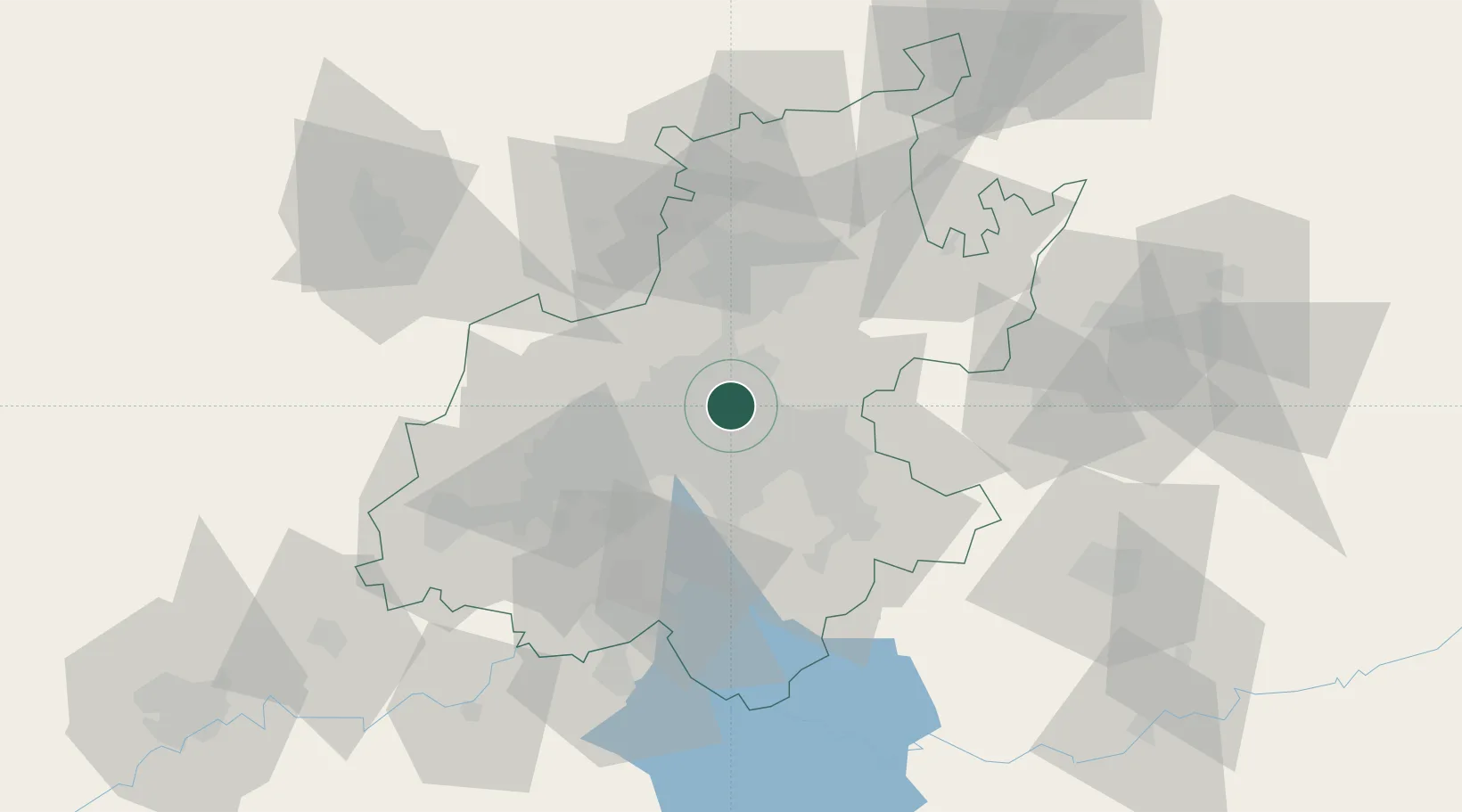
Modderfontein
-26.1000°, 28.1500°
3,000
Population
1
Transport functions
Transport Functions
Multimodal
Hub Profile
Place type
Populated place
Region
Gauteng
Population
3,000
Time zone
Africa/Johannesburg
Elevation
1,625 m
Location
Nearby Logistics Neighbours
Cities
- 1Lyndhurst5 km
- 2Bedfordview7 km
- 3Rosherville8 km
- 4Primrose9 km
- 5Benrose10 km
Ports
- 1Maputo439 km
- 2Richards Bay493 km
- 3Durban507 km
- 4Inhambane770 km
- 5East London771 km
Airports
- 1O.R. Tambo International Airport11 km
- 2Grand Central Airport13 km
- 3Rand Airport16 km
- 4Lanseria International Airport29 km
- 5Waterkloof Air Force Base31 km
Trade Zones
DatabookThe Record of Consolidated Knowledge
South Africa beyond logistics?