Transport Functions
Multimodal
Hub Profile
Place type
Populated place
Region
Gauteng
Time zone
Africa/Johannesburg
Elevation
1,440 m
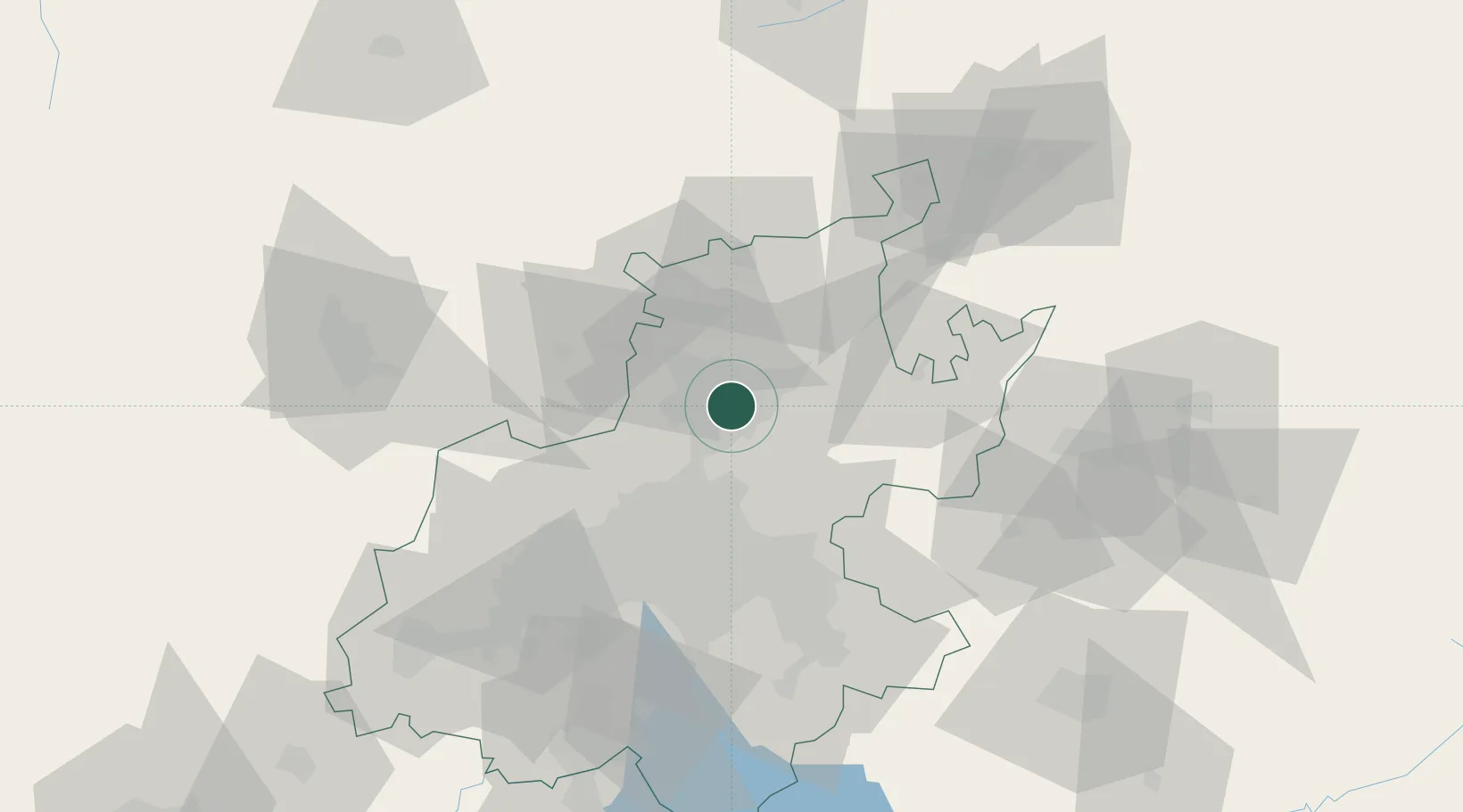
Location
Nearby Logistics Neighbours
Cities
- 1Lynnwood4 km
- 2Capital Park5 km
- 3Garsfontein5 km
- 4Brummeria6 km
- 5Menlo Park7 km
Ports
- 1Maputo432 km
- 2Richards Bay510 km
- 3Durban534 km
- 4Inhambane752 km
- 5East London809 km
Airports
Trade Zones
DatabookThe Record of Consolidated Knowledge
South Africa beyond logistics?