UN/LOCODE hub · South Africa
ZAZAT

Capital Park

-25.7333°, 28.2000°
3
Transport functions

Transport Functions

Rail
Road
Multimodal
UN/LOCODE

Hub Profile

Place type
Urban district
GeoNames
Region
Gauteng
GeoNames
Time zone
Africa/Johannesburg
GeoNames
Elevation
1,295 m
GeoNames

Location

Location of ZAZAT
Natural Earth 10m (public domain) · Gauteng · ZAZAT · -25.73, 28.20GoogleOSMYandex

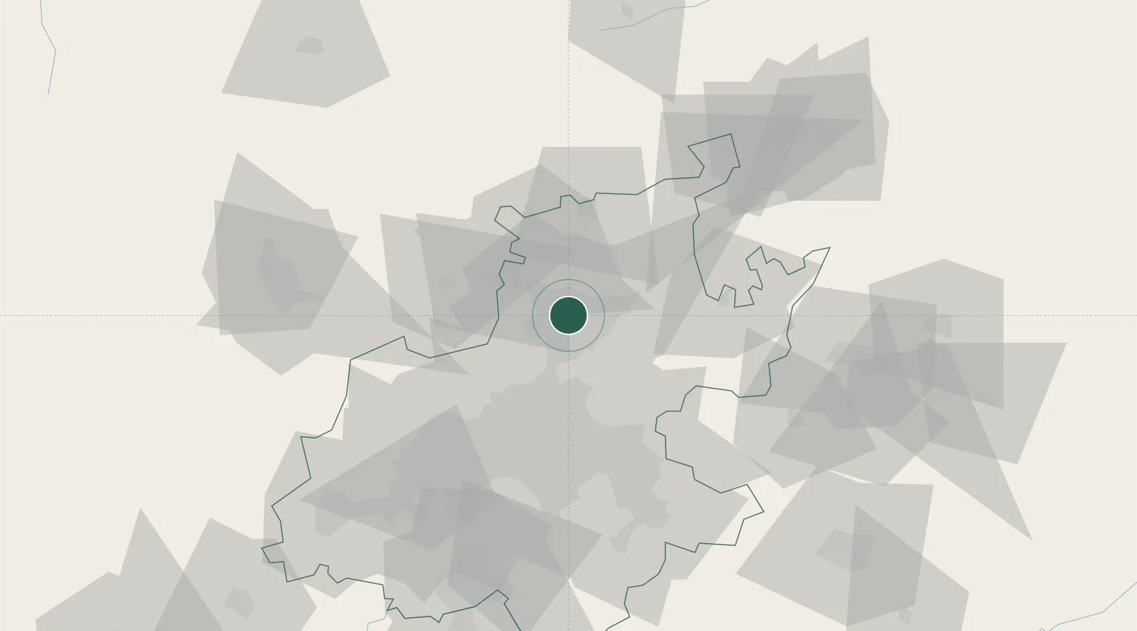
Nearby Logistics Neighbours

Cities
  1. 1Gezina4 km
  2. 2Hermanstad4 km
  3. 3Pretoria5 km
  4. 4Waterkloof5 km
  5. 5Lynnwood7 km
Nearest neighbours — logibook spatial index (haversine) over the source coordinates
Ports
  1. 1Maputo436 km
  2. 2Richards Bay515 km
  3. 3Durban539 km
  4. 4Inhambane754 km
  5. 5East London812 km
Nearest neighbours — logibook spatial index (haversine) over the source coordinates
Airports
  1. 1Wonderboom Airport9 km
  2. 2Swartkop Air Force Base9 km
  3. 3Waterkloof Air Force Base11 km
  4. 4Grand Central Airport29 km
  5. 5Lanseria International Airport36 km
Nearest neighbours — logibook spatial index (haversine) over the source coordinates
Trade Zones
  1. 1Tshwane Automotive Industrial Zone12 km
  2. 2Babelegi Industrial Park43 km
  3. 3OR Tambo Industrial Development Zone46 km
  4. 4Bojanala (Platinum Valley) Special Economic Zone106 km
  5. 5Vaal Special Economic Zone115 km
Nearest neighbours — logibook spatial index (haversine) over the source coordinates
DatabookThe Record of Consolidated Knowledge
South Africa beyond logistics?
Browse databook

All Sources

LocationsUN/LOCODE
UN/LOCODE — free
Portsthe NGA World Port Index
Public domain (US gov)
AirportsOurAirports
Public domain
Trade Zonesthe World Bank SEZ database
CC BY 4.0
Trade ZonesOpen Zone Map
CC BY
← South Africa locations