Transport Functions
Port
Hub Profile
Place type
Populated place
Region
Gauteng
Time zone
Africa/Johannesburg
Elevation
1,394 m
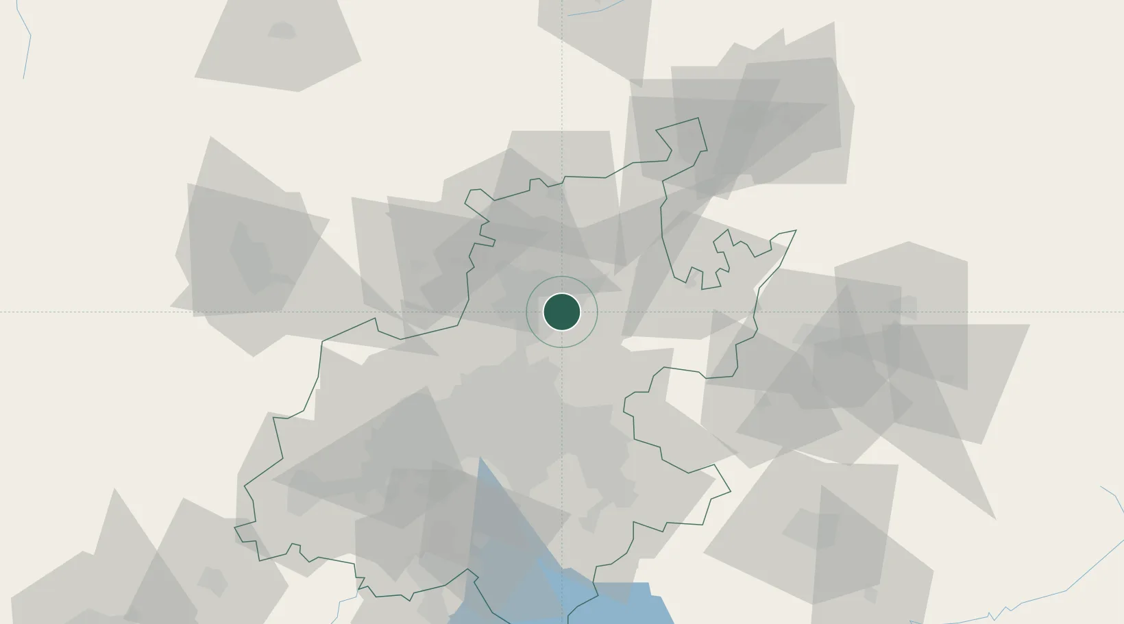
Location
Nearby Logistics Neighbours
Cities
- 1Menlo Park3 km
- 2Lynnwood4 km
- 3Waterkloof5 km
- 4Brummeria6 km
- 5Waltloo9 km
Ports
- 1Maputo427 km
- 2Richards Bay505 km
- 3Durban530 km
- 4Inhambane747 km
- 5East London807 km
Airports
Trade Zones
DatabookThe Record of Consolidated Knowledge
South Africa beyond logistics?