Transport Functions
Multimodal
Hub Profile
Place type
Urban district
Region
Gauteng
Time zone
Africa/Johannesburg
Elevation
1,409 m
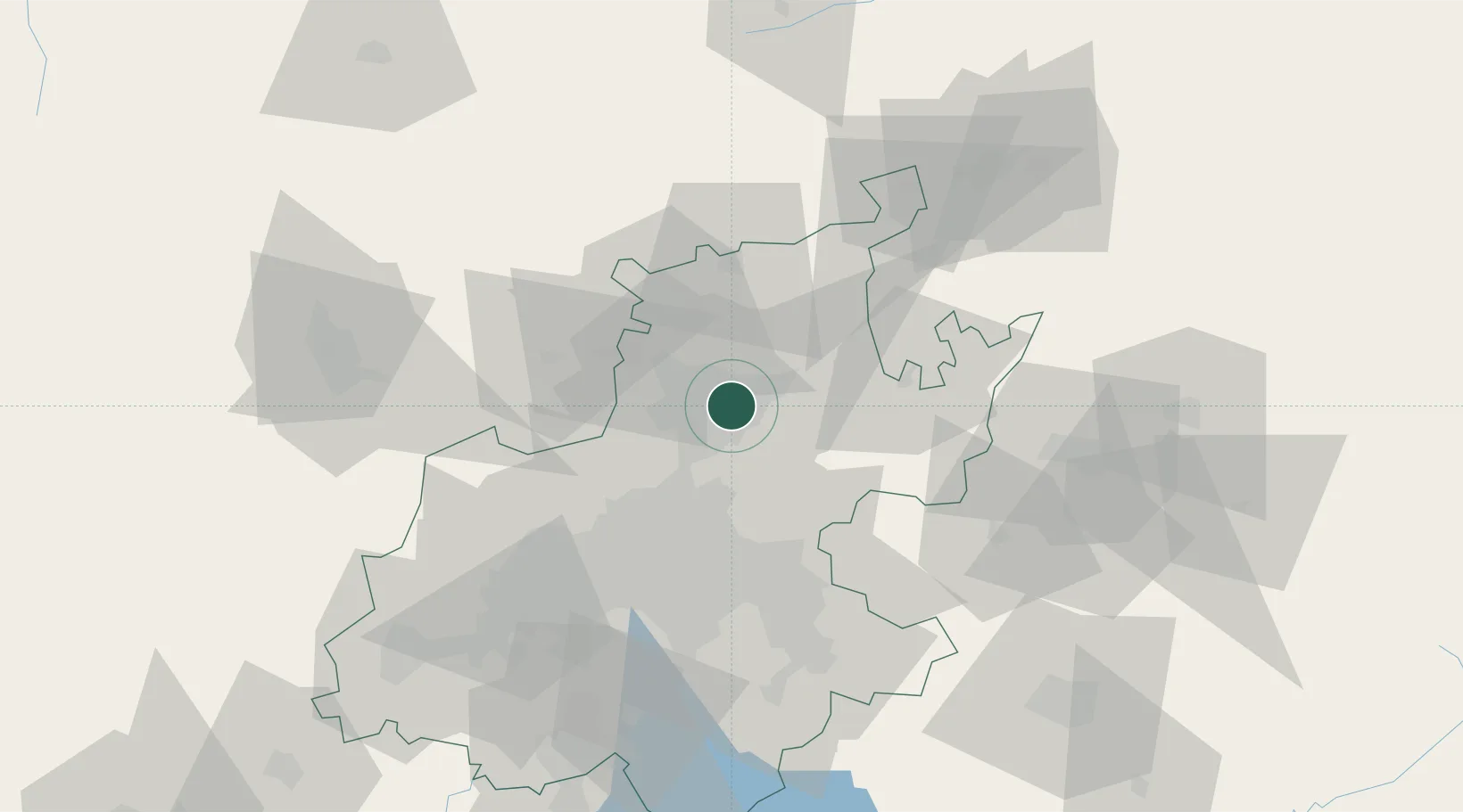
Location
Nearby Logistics Neighbours
Cities
- 1Brummeria3 km
- 2Menlo Park4 km
- 3Waterkloof4 km
- 4Garsfontein4 km
- 5Capital Park7 km
Ports
- 1Maputo429 km
- 2Richards Bay509 km
- 3Durban534 km
- 4Inhambane748 km
- 5East London811 km
Airports
- 1Waterkloof Air Force Base10 km
- 2Wonderboom Airport12 km
- 3Swartkop Air Force Base12 km
- 4Grand Central Airport29 km
- 5Lanseria International Airport40 km
Trade Zones
DatabookThe Record of Consolidated Knowledge
South Africa beyond logistics?