Transport Functions
Rail
Road
Hub Profile
Place type
Urban district
Region
Gauteng
Time zone
Africa/Johannesburg
Elevation
1,457 m
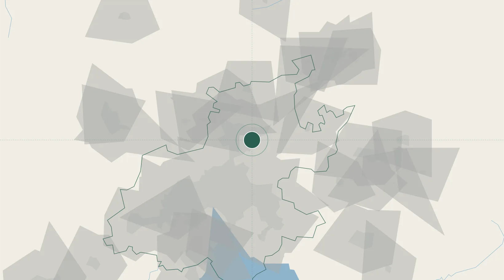
Location
Nearby Logistics Neighbours
Cities
- 1Garsfontein3 km
- 2Lynnwood4 km
- 3Brummeria4 km
- 4Waltloo7 km
- 5Waterkloof7 km
Ports
- 1Maputo425 km
- 2Richards Bay505 km
- 3Durban531 km
- 4Inhambane745 km
- 5East London809 km
Airports
- 1Waterkloof Air Force Base11 km
- 2Swartkop Air Force Base14 km
- 3Wonderboom Airport15 km
- 4Grand Central Airport29 km
- 5O.R. Tambo International Airport42 km
Trade Zones
DatabookThe Record of Consolidated Knowledge
South Africa beyond logistics?