Medium airport · South Africa

Wonderboom AirportFAWB
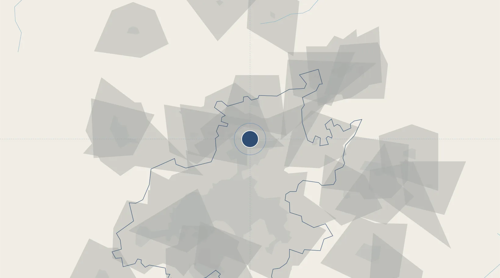
-25.6539°, 28.2242°
5,998 ft
Longest runway
2
Runways
4,095 ft
Elevation

Runway & Layout

Wonderboom Airport runway & taxiway layout
Runway & taxiway layout — OpenStreetMap (ODbL) / OurAirports

Radio Frequencies

TWR
118.35 MHz
Wonderboom Tower
GND
120.6 MHz
Wonderboom Ground
OurAirports

Navaids

WB NDB Wonderboom 258 kHz
WR NDB Wonderboom 230 kHz
OurAirports

Runways · 2

RunwayDimensions SurfaceTrue headingLit
11/29 5,998 × 98ft Asphalt 093°
06/24 4,200 × 72ft Asphalt 044°
OurAirports

Airport Specifications

IATA code
PRY
OurAirports
ICAO code
FAWB
OurAirports
Airport class
Medium airport
OurAirports
Scheduled service
No
OurAirports
Runway surface
Asphalt
OurAirports
Served city
Pretoria
OurAirports

Location

Location of FAWB
Natural Earth 10m (public domain) · Gauteng · FAWB · -25.65, 28.22GoogleOSMYandex

Nearby Logistics Neighbours

Airports
  1. 1Swartkop Air Force Base18 km
  2. 2Waterkloof Air Force Base20 km
  3. 3Grand Central Airport38 km
  4. 4Lanseria International Airport44 km
  5. 5O.R. Tambo International Airport54 km
Nearest neighbours — logibook spatial index (haversine) over the source coordinates
Cities
  1. 1Onderstepoort4 km
  2. 2Gezina6 km
  3. 3Hermanstad7 km
  4. 4Pretoria8 km
  5. 5Capital Park9 km
Nearest neighbours — logibook spatial index (haversine) over the source coordinates
Ports
  1. 1Maputo434 km
  2. 2Richards Bay519 km
  3. 3Durban546 km
  4. 4Inhambane750 km
  5. 5East London821 km
Nearest neighbours — logibook spatial index (haversine) over the source coordinates
Trade Zones
  1. 1Tshwane Automotive Industrial Zone13 km
  2. 2Babelegi Industrial Park34 km
  3. 3OR Tambo Industrial Development Zone54 km
  4. 4Bojanala (Platinum Valley) Special Economic Zone105 km
  5. 5Vaal Special Economic Zone124 km
Nearest neighbours — logibook spatial index (haversine) over the source coordinates
DatabookThe Record of Consolidated Knowledge
South Africa beyond logistics?
Browse databook

All Sources

AirportsOurAirports
Public domain
Portsthe NGA World Port Index
Public domain (US gov)
LocationsUN/LOCODE
UN/LOCODE — free
Trade Zonesthe World Bank SEZ database
CC BY 4.0
Trade ZonesOpen Zone Map
CC BY
InfrastructureOpenStreetMap
ODbL 1.0
← South Africa airports