UN/LOCODE hub · South Africa
ZAZFT

Brummeria

-25.7333°, 28.2833°
1
Transport functions

Transport Functions

Multimodal
UN/LOCODE

Hub Profile

Region
GT
GeoNames

Location

Location of ZAZFT
Natural Earth 10m (public domain) · GT · ZAZFT · -25.73, 28.28GoogleOSMYandex

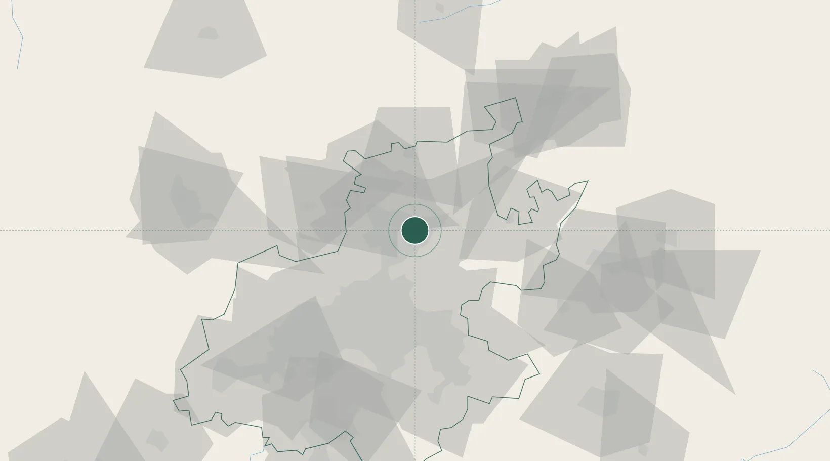
Nearby Logistics Neighbours

Cities
  1. 1Lynnwood3 km
  2. 2Menlo Park4 km
  3. 3Waltloo5 km
  4. 4Garsfontein6 km
  5. 5Waterkloof6 km
Nearest neighbours — logibook spatial index (haversine) over the source coordinates
Ports
  1. 1Maputo427 km
  2. 2Richards Bay509 km
  3. 3Durban535 km
  4. 4Inhambane746 km
  5. 5East London813 km
Nearest neighbours — logibook spatial index (haversine) over the source coordinates
Airports
  1. 1Wonderboom Airport11 km
  2. 2Waterkloof Air Force Base12 km
  3. 3Swartkop Air Force Base15 km
  4. 4Grand Central Airport32 km
  5. 5Lanseria International Airport42 km
Nearest neighbours — logibook spatial index (haversine) over the source coordinates
Trade Zones
  1. 1Tshwane Automotive Industrial Zone4 km
  2. 2Babelegi Industrial Park42 km
  3. 3OR Tambo Industrial Development Zone45 km
  4. 4Bojanala (Platinum Valley) Special Economic Zone114 km
  5. 5Vaal Special Economic Zone117 km
Nearest neighbours — logibook spatial index (haversine) over the source coordinates
DatabookThe Record of Consolidated Knowledge
South Africa beyond logistics?
Browse databook

All Sources

LocationsUN/LOCODE
UN/LOCODE — free
Portsthe NGA World Port Index
Public domain (US gov)
AirportsOurAirports
Public domain
Trade Zonesthe World Bank SEZ database
CC BY 4.0
Trade ZonesOpen Zone Map
CC BY
← South Africa locations