Transport Functions
Multimodal
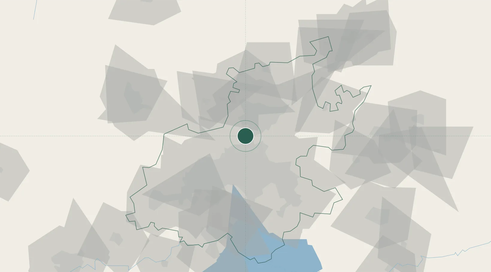
Hub Profile
Place type
Populated place
Region
Gauteng
Time zone
Africa/Johannesburg
Elevation
1,529 m
Location
Nearby Logistics Neighbours
Cities
- 1Centurion8 km
- 2Irene11 km
- 3Dainfern11 km
- 4Woodmead13 km
- 5Bramley View15 km
Ports
- 1Maputo445 km
- 2Richards Bay510 km
- 3Durban529 km
- 4Inhambane768 km
- 5East London793 km
Airports
- 1Grand Central Airport10 km
- 2Swartkop Air Force Base12 km
- 3Waterkloof Air Force Base15 km
- 4Lanseria International Airport18 km
- 5Wonderboom Airport30 km
Trade Zones
DatabookThe Record of Consolidated Knowledge
South Africa beyond logistics?