UN/LOCODE hub · South Africa
ZAZAY
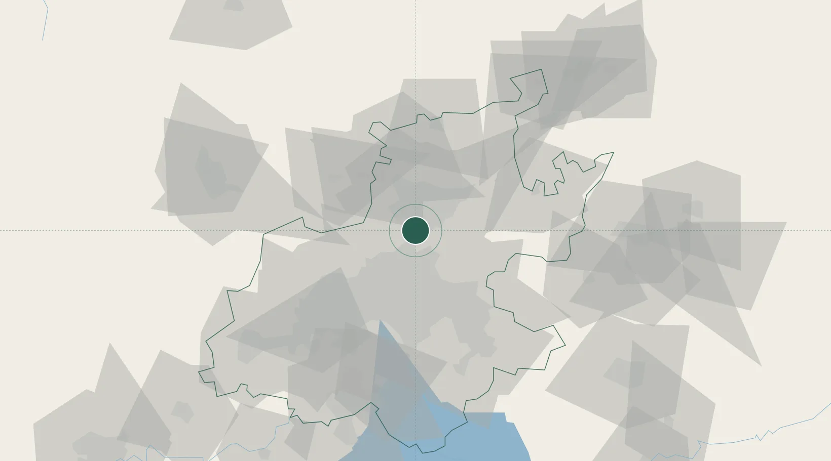
Centurion
-25.8667°, 28.1667°
236,580
Population
1
Transport functions
Transport Functions
Multimodal
Hub Profile
Place type
Populated place
Region
Gauteng
Population
236,580
Time zone
Africa/Johannesburg
Elevation
1,432 m
Location
Nearby Logistics Neighbours
Cities
- 1Irene3 km
- 2Rooihuiskraal8 km
- 3Waterkloof13 km
- 4Garsfontein15 km
- 5Capital Park15 km
Ports
- 1Maputo438 km
- 2Richards Bay508 km
- 3Durban528 km
- 4Inhambane761 km
- 5East London797 km
Airports
Trade Zones
DatabookThe Record of Consolidated Knowledge
South Africa beyond logistics?