Transport Functions
Multimodal
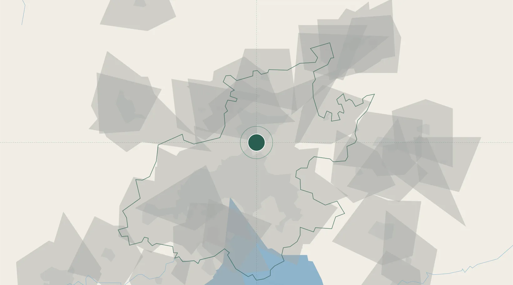
Hub Profile
Place type
Urban district
Region
Gauteng
Time zone
Africa/Johannesburg
Elevation
1,472 m
Location
Nearby Logistics Neighbours
Cities
- 1Centurion3 km
- 2Rooihuiskraal11 km
- 3Waterkloof12 km
- 4Garsfontein13 km
- 5Lynnwood15 km
Ports
- 1Maputo435 km
- 2Richards Bay505 km
- 3Durban527 km
- 4Inhambane758 km
- 5East London797 km
Airports
Trade Zones
DatabookThe Record of Consolidated Knowledge
South Africa beyond logistics?