UN/LOCODE hub · South Africa
ZAZFN
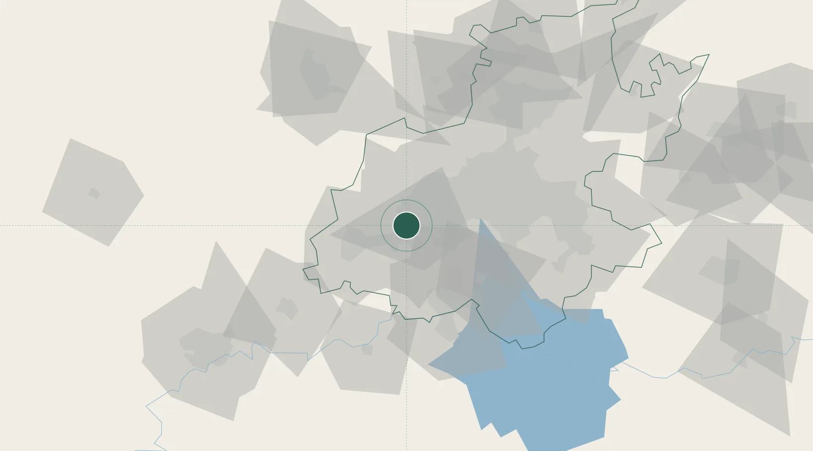
Westonaria
-26.3167°, 27.6500°
156,831
Population
1
Transport functions
Transport Functions
Multimodal
Hub Profile
Place type
District seat
Region
Gauteng
Population
156,831
Time zone
Africa/Johannesburg
Elevation
1,593 m
Location
Nearby Logistics Neighbours
Ports
- 1Maputo490 km
- 2Durban518 km
- 3Richards Bay519 km
- 4East London747 km
- 5Inhambane825 km
Airports
- 1Vereeniging Airport42 km
- 2Lanseria International Airport50 km
- 3Rand Airport51 km
- 4Grand Central Airport61 km
- 5O.R. Tambo International Airport63 km
Trade Zones
DatabookThe Record of Consolidated Knowledge
South Africa beyond logistics?