Transport Functions
Road
Multimodal
Hub Profile
Place type
Populated place
Region
Free State
Time zone
Africa/Johannesburg
Elevation
1,485 m
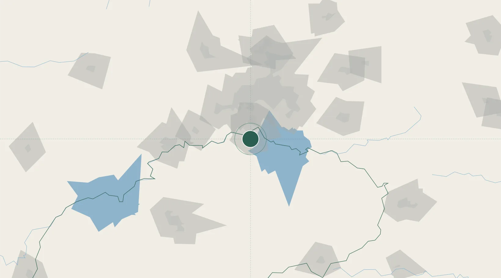
Location
Nearby Logistics Neighbours
Cities
- 1Duncanville/Vereeniging22 km
- 2De Deur34 km
- 3Parys40 km
- 4Randvaal44 km
- 5Langlaagte56 km
Ports
- 1Durban461 km
- 2Richards Bay472 km
- 3Maputo478 km
- 4East London689 km
- 5Port Elizabeth819 km
Airports
- 1Vereeniging Airport32 km
- 2Rand Airport72 km
- 3Potchefstroom Airport78 km
- 4O.R. Tambo International Airport87 km
- 5Grand Central Airport99 km
Trade Zones
DatabookThe Record of Consolidated Knowledge
South Africa beyond logistics?