Transport Functions
Multimodal
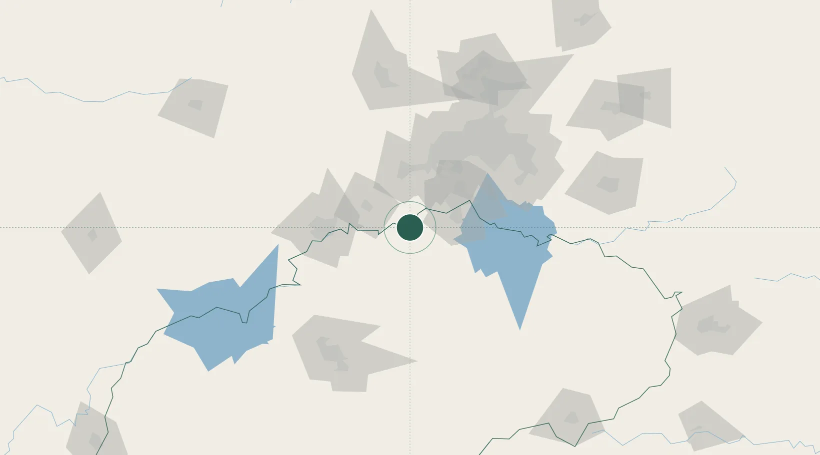
Hub Profile
Place type
District seat
Region
Free State
Population
71,319
Time zone
Africa/Johannesburg
Elevation
1,398 m
Location
Nearby Logistics Neighbours
Cities
- 1Potchefstroom40 km
- 2Botshabelo40 km
- 3Duncanville/Vereeniging56 km
- 4Doornfontein57 km
- 5Viljoenskroon61 km
Ports
- 1Durban484 km
- 2Richards Bay504 km
- 3Maputo518 km
- 4East London684 km
- 5Port Elizabeth803 km
Airports
- 1Potchefstroom Airport45 km
- 2Vereeniging Airport63 km
- 3P C Pelser Airport73 km
- 4Rand Airport101 km
- 5O.R. Tambo International Airport116 km
Trade Zones
DatabookThe Record of Consolidated Knowledge
South Africa beyond logistics?