Transport Functions
Rail
Road
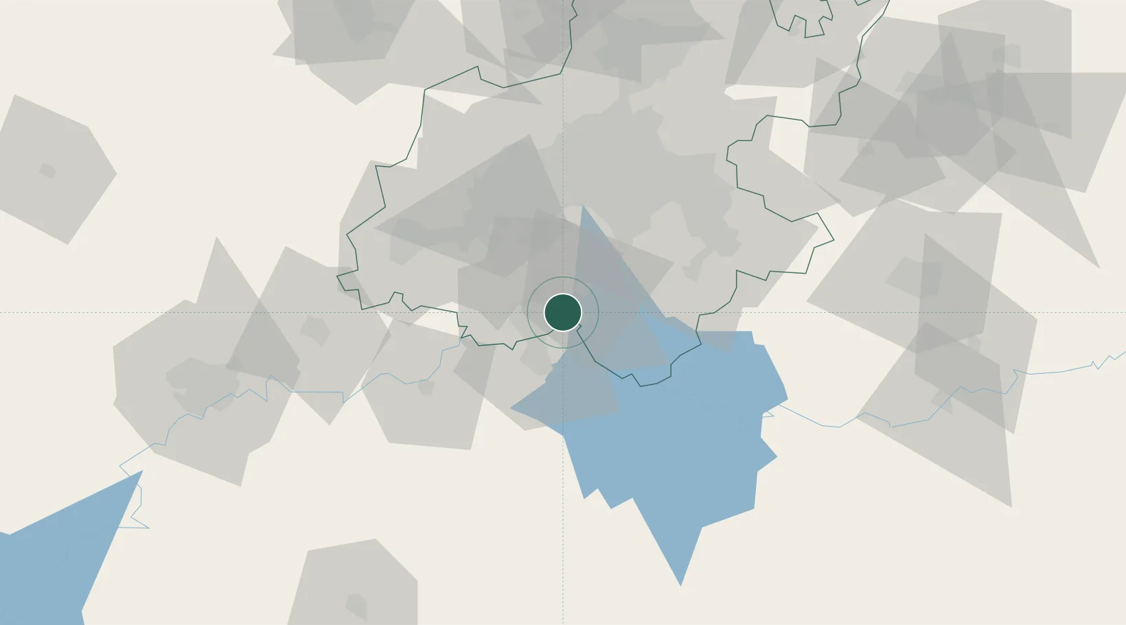
Location
Nearby Logistics Neighbours
Cities
- 1De Deur13 km
- 2Randvaal22 km
- 3Botshabelo22 km
- 4Langlaagte34 km
- 5Amalgam34 km
Ports
- 1Maputo466 km
- 2Durban471 km
- 3Richards Bay475 km
- 4East London710 km
- 5Inhambane810 km
Airports
- 1Vereeniging Airport10 km
- 2Rand Airport50 km
- 3O.R. Tambo International Airport65 km
- 4Grand Central Airport77 km
- 5Lanseria International Airport79 km
Trade Zones
DatabookThe Record of Consolidated Knowledge
South Africa beyond logistics?