Transport Functions
Port
Road
Hub Profile
Place type
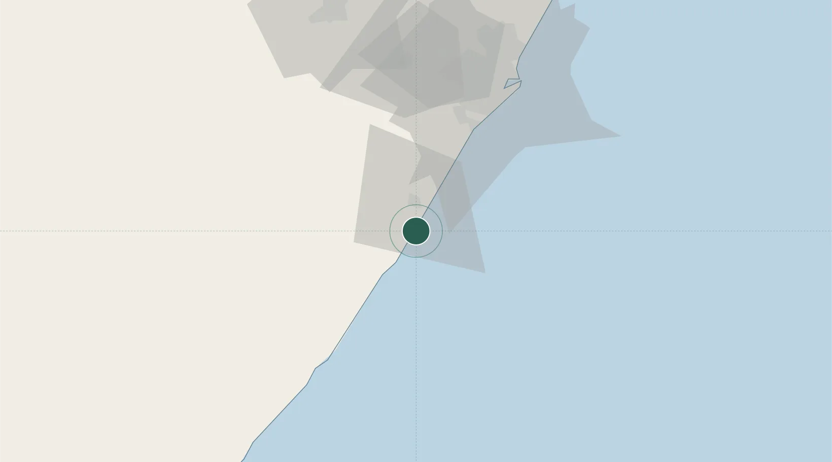
Populated place
Region
KwaZulu-Natal
Population
1,441
Time zone
Africa/Johannesburg
Elevation
38 m
Location
Nearby Logistics Neighbours
Cities
- 1Pennington4 km
- 2Hibberdene21 km
- 3Umbogintwini50 km
- 4Mobeni58 km
- 5Faerie Glen59 km
Ports
- 1Durban71 km
- 2Richards Bay225 km
- 3East London391 km
- 4Maputo528 km
- 5Port Elizabeth616 km
Airports
- 1Margate Airport59 km
- 2Virginia Airport80 km
- 3Pietermaritzburg Airport90 km
- 4King Shaka International Airport99 km
- 5Port St Johns Airport173 km
Trade Zones
- 1Dube TradePort97 km
- 2Dube AgriZone98 km
- 3Dube TradeZone99 km
- 4Durban Aerotropolis102 km
- 5Isithebe Industrial Park163 km
DatabookThe Record of Consolidated Knowledge
South Africa beyond logistics?