UN/LOCODE hub · South Africa
ZAUMB

Umbogintwini

-30.0167°, 30.9167°
2
Transport functions

Transport Functions

Rail
Road
UN/LOCODE

Hub Profile

Region
KZN
GeoNames

Location

Location of ZAUMB
Natural Earth 10m (public domain) · KZN · ZAUMB · -30.02, 30.92GoogleOSMYandex

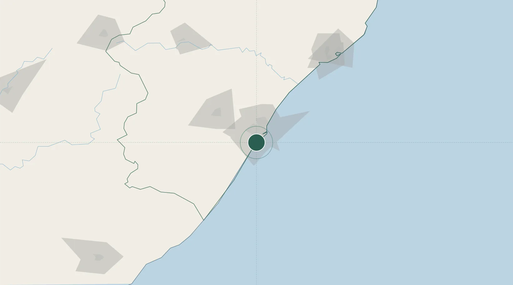
Nearby Logistics Neighbours

Cities
  1. 1Mobeni8 km
  2. 2Merebank East11 km
  3. 3Jacobs11 km
  4. 4Clairwood13 km
  5. 5Durban14 km
Nearest neighbours — logibook spatial index (haversine) over the source coordinates
Ports
  1. 1Durban22 km
  2. 2Richards Bay176 km
  3. 3East London440 km
  4. 4Maputo478 km
  5. 5Port Elizabeth662 km
Nearest neighbours — logibook spatial index (haversine) over the source coordinates
Airports
  1. 1Virginia Airport31 km
  2. 2King Shaka International Airport49 km
  3. 3Pietermaritzburg Airport65 km
  4. 4Margate Airport109 km
  5. 5Richards Bay Airport182 km
Nearest neighbours — logibook spatial index (haversine) over the source coordinates
Trade Zones
  1. 1Dube TradePort47 km
  2. 2Dube AgriZone48 km
  3. 3Dube TradeZone50 km
  4. 4Durban Aerotropolis52 km
  5. 5Isithebe Industrial Park113 km
Nearest neighbours — logibook spatial index (haversine) over the source coordinates
DatabookThe Record of Consolidated Knowledge
South Africa beyond logistics?
Browse databook

All Sources

LocationsUN/LOCODE
UN/LOCODE — free
Portsthe NGA World Port Index
Public domain (US gov)
AirportsOurAirports
Public domain
Trade Zonesthe World Bank SEZ database
CC BY 4.0
Trade ZonesOpen Zone Map
CC BY
← South Africa locations