UN/LOCODE hub · South Africa
ZAPEN
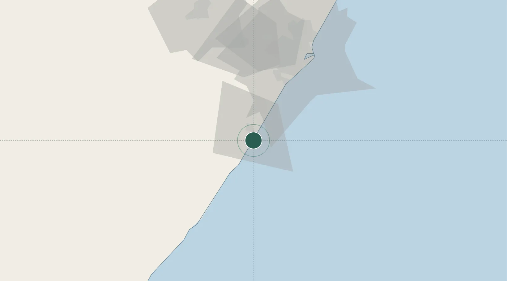
Pennington
-30.3833°, 30.7000°
3,337
Population
2
Transport functions
Transport Functions
Port
Multimodal
Hub Profile
Place type
Populated place
Region
KwaZulu-Natal
Population
3,337
Time zone
Africa/Johannesburg
Elevation
46 m
Location
Nearby Logistics Neighbours
Cities
- 1Sezela4 km
- 2Hibberdene25 km
- 3Umbogintwini46 km
- 4Mobeni54 km
- 5Merebank East57 km
Ports
- 1Durban67 km
- 2Richards Bay221 km
- 3East London395 km
- 4Maputo524 km
- 5Port Elizabeth620 km
Airports
- 1Margate Airport63 km
- 2Virginia Airport76 km
- 3Pietermaritzburg Airport87 km
- 4King Shaka International Airport95 km
- 5Port St Johns Airport176 km
Trade Zones
- 1Dube TradePort93 km
- 2Dube AgriZone94 km
- 3Dube TradeZone95 km
- 4Durban Aerotropolis98 km
- 5Isithebe Industrial Park159 km
DatabookThe Record of Consolidated Knowledge
South Africa beyond logistics?