Transport Functions
Rail
Road
Hub Profile
Place type
Urban district
Region
KwaZulu-Natal
Time zone
Africa/Johannesburg
Elevation
28 m
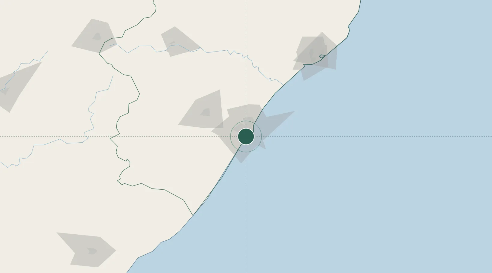
Location
Nearby Logistics Neighbours
Cities
- 1Jacobs4 km
- 2Merebank East4 km
- 3Clairwood5 km
- 4Durban6 km
- 5Umbilo6 km
Ports
- 1Durban15 km
- 2Richards Bay169 km
- 3East London448 km
- 4Maputo470 km
- 5Port Elizabeth670 km
Airports
- 1Virginia Airport23 km
- 2King Shaka International Airport41 km
- 3Pietermaritzburg Airport63 km
- 4Margate Airport117 km
- 5Richards Bay Airport174 km
Trade Zones
- 1Dube TradePort39 km
- 2Dube AgriZone40 km
- 3Dube TradeZone42 km
- 4Durban Aerotropolis44 km
- 5Isithebe Industrial Park105 km
DatabookThe Record of Consolidated Knowledge
South Africa beyond logistics?