UN/LOCODE hub · South Africa
ZAHI9
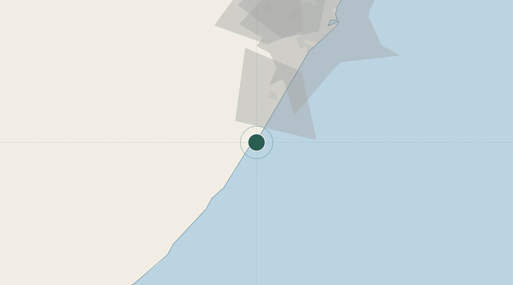
Hibberdene
-30.5833°, 30.5833°
2,280
Population
1
Transport functions
Transport Functions
Rail
Hub Profile
Place type
Populated place
Region
KwaZulu-Natal
Population
2,280
Time zone
Africa/Johannesburg
Elevation
37 m
Location
Nearby Logistics Neighbours
Cities
- 1Sezela21 km
- 2Pennington25 km
- 3Faerie Glen38 km
- 4Southbroom45 km
- 5Port Edward63 km
Ports
- 1Durban92 km
- 2Richards Bay246 km
- 3East London371 km
- 4Maputo549 km
- 5Port Elizabeth597 km
Airports
- 1Margate Airport38 km
- 2Virginia Airport101 km
- 3Pietermaritzburg Airport105 km
- 4King Shaka International Airport120 km
- 5Port St Johns Airport152 km
Trade Zones
- 1Dube TradePort117 km
- 2Dube AgriZone119 km
- 3Dube TradeZone120 km
- 4Durban Aerotropolis123 km
- 5Isithebe Industrial Park184 km
DatabookThe Record of Consolidated Knowledge
South Africa beyond logistics?