Transport Functions
Port
Road
Multimodal
Hub Profile
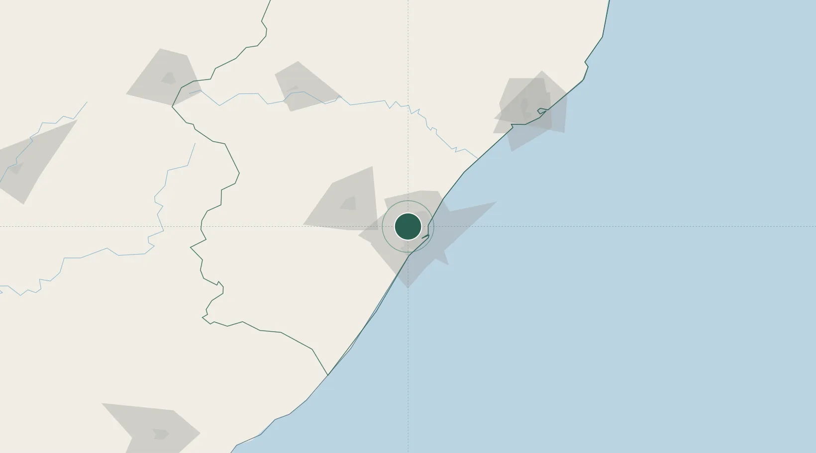
Place type
Populated place
Region
KwaZulu-Natal
Time zone
Africa/Johannesburg
Elevation
316 m
Location
Nearby Logistics Neighbours
Cities
- 1Reservoir Hills5 km
- 2Westville6 km
- 3Escombe8 km
- 4Sydenham10 km
- 5Kwamashu11 km
Ports
- 1Durban19 km
- 2Richards Bay161 km
- 3East London457 km
- 4Maputo457 km
- 5Port Elizabeth677 km
Airports
- 1Virginia Airport17 km
- 2King Shaka International Airport31 km
- 3Pietermaritzburg Airport50 km
- 4Margate Airport129 km
- 5Richards Bay Airport166 km
Trade Zones
- 1Dube TradePort28 km
- 2Dube AgriZone29 km
- 3Dube TradeZone31 km
- 4Durban Aerotropolis33 km
- 5Isithebe Industrial Park93 km
DatabookThe Record of Consolidated Knowledge
South Africa beyond logistics?