Transport Functions
Multimodal
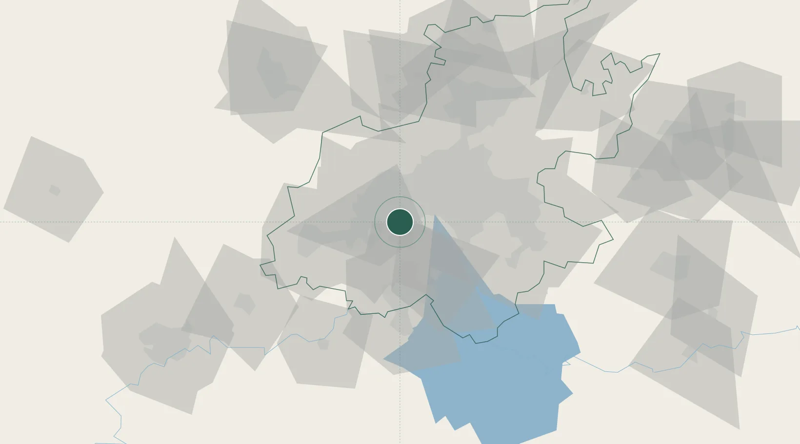
Hub Profile
Place type
Populated place
Region
Gauteng
Time zone
Africa/Johannesburg
Elevation
1,575 m
Location
Nearby Logistics Neighbours
Cities
- 1Soweto7 km
- 2Suurbekom9 km
- 3Eikenhof13 km
- 4Amalgam17 km
- 5Crown Mines17 km
Ports
- 1Maputo472 km
- 2Richards Bay504 km
- 3Durban506 km
- 4East London747 km
- 5Inhambane807 km
Airports
- 1Vereeniging Airport31 km
- 2Rand Airport33 km
- 3Lanseria International Airport43 km
- 4O.R. Tambo International Airport46 km
- 5Grand Central Airport48 km
Trade Zones
DatabookThe Record of Consolidated Knowledge
South Africa beyond logistics?