UN/LOCODE hub · South Africa
ZAZEV
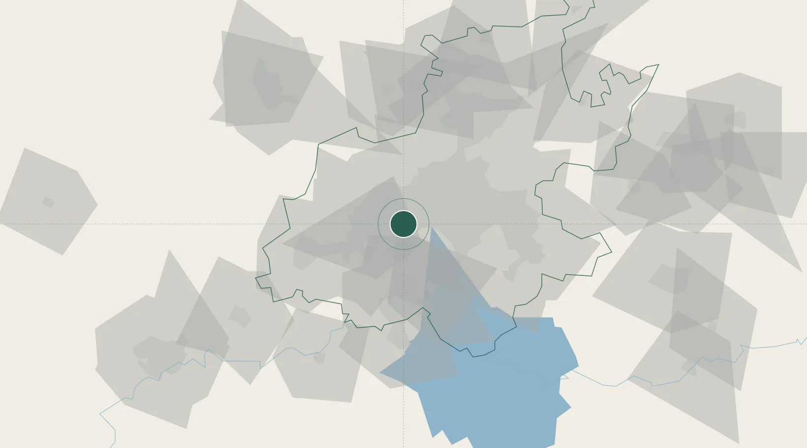
Soweto
-26.2667°, 27.8667°
1,695,047
Population
1
Transport functions
Transport Functions
Multimodal
Hub Profile
Place type
Populated place
Region
Gauteng
Population
1,695,047
Time zone
Africa/Johannesburg
Elevation
1,632 m
Location
Nearby Logistics Neighbours
Cities
- 1Lenasia7 km
- 2Crown Mines11 km
- 3Florida12 km
- 4Suurbekom12 km
- 5Eikenhof12 km
Ports
- 1Maputo468 km
- 2Richards Bay504 km
- 3Durban509 km
- 4East London752 km
- 5Inhambane802 km
Airports
- 1Rand Airport29 km
- 2Vereeniging Airport35 km
- 3Lanseria International Airport37 km
- 4O.R. Tambo International Airport41 km
- 5Grand Central Airport41 km
Trade Zones
DatabookThe Record of Consolidated Knowledge
South Africa beyond logistics?