UN/LOCODE hub · South Africa
ZAZEY

Suurbekom

-26.3000°, 27.7500°
1
Transport functions

Transport Functions

Multimodal
UN/LOCODE

Hub Profile

Region
GT
GeoNames

Location

Location of ZAZEY
Natural Earth 10m (public domain) · GT · ZAZEY · -26.30, 27.75GoogleOSMYandex

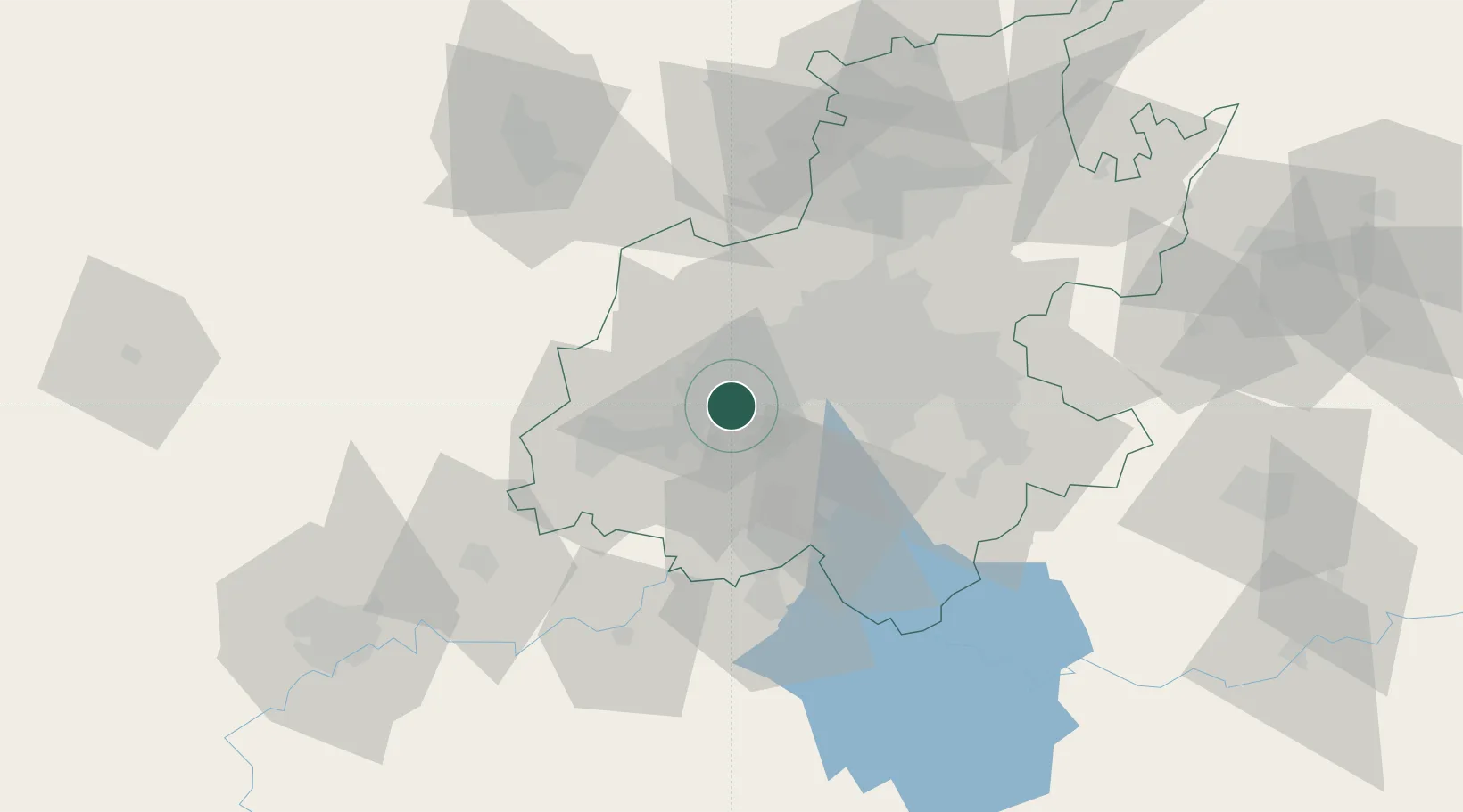
Nearby Logistics Neighbours

Cities
  1. 1Lenasia9 km
  2. 2Westonaria10 km
  3. 3Soweto12 km
  4. 4Chamdor21 km
  5. 5Eikenhof22 km
Nearest neighbours — logibook spatial index (haversine) over the source coordinates
Ports
  1. 1Maputo480 km
  2. 2Richards Bay511 km
  3. 3Durban513 km
  4. 4East London749 km
  5. 5Inhambane814 km
Nearest neighbours — logibook spatial index (haversine) over the source coordinates
Airports
  1. 1Vereeniging Airport36 km
  2. 2Rand Airport41 km
  3. 3Lanseria International Airport44 km
  4. 4Grand Central Airport52 km
  5. 5O.R. Tambo International Airport53 km
Nearest neighbours — logibook spatial index (haversine) over the source coordinates
Trade Zones
  1. 1Vaal Special Economic Zone50 km
  2. 2OR Tambo Industrial Development Zone55 km
  3. 3Tshwane Automotive Industrial Zone85 km
  4. 4Babelegi Industrial Park118 km
  5. 5Bojanala (Platinum Valley) Special Economic Zone124 km
Nearest neighbours — logibook spatial index (haversine) over the source coordinates
DatabookThe Record of Consolidated Knowledge
South Africa beyond logistics?
Browse databook

All Sources

LocationsUN/LOCODE
UN/LOCODE — free
Portsthe NGA World Port Index
Public domain (US gov)
AirportsOurAirports
Public domain
Trade Zonesthe World Bank SEZ database
CC BY 4.0
Trade ZonesOpen Zone Map
CC BY
← South Africa locations