Transport Functions
Multimodal
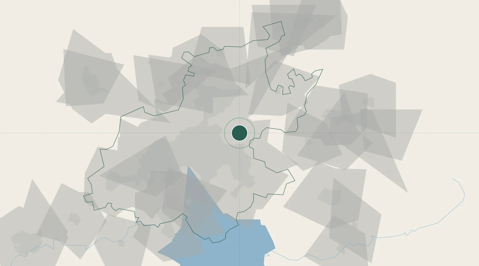
Hub Profile
Region
GT
Location
Nearby Logistics Neighbours
Cities
- 1Bonaero Park20 km
- 2Jet Park25 km
- 3Dunswart/Boksburg25 km
- 4Irene27 km
- 5Modderfontein28 km
Ports
- 1Maputo413 km
- 2Richards Bay478 km
- 3Durban501 km
- 4Inhambane742 km
- 5East London782 km
Airports
- 1O.R. Tambo International Airport22 km
- 2Grand Central Airport28 km
- 3Waterkloof Air Force Base28 km
- 4Swartkop Air Force Base34 km
- 5Rand Airport37 km
Trade Zones
DatabookThe Record of Consolidated Knowledge
South Africa beyond logistics?