Transport Functions
Rail
Road
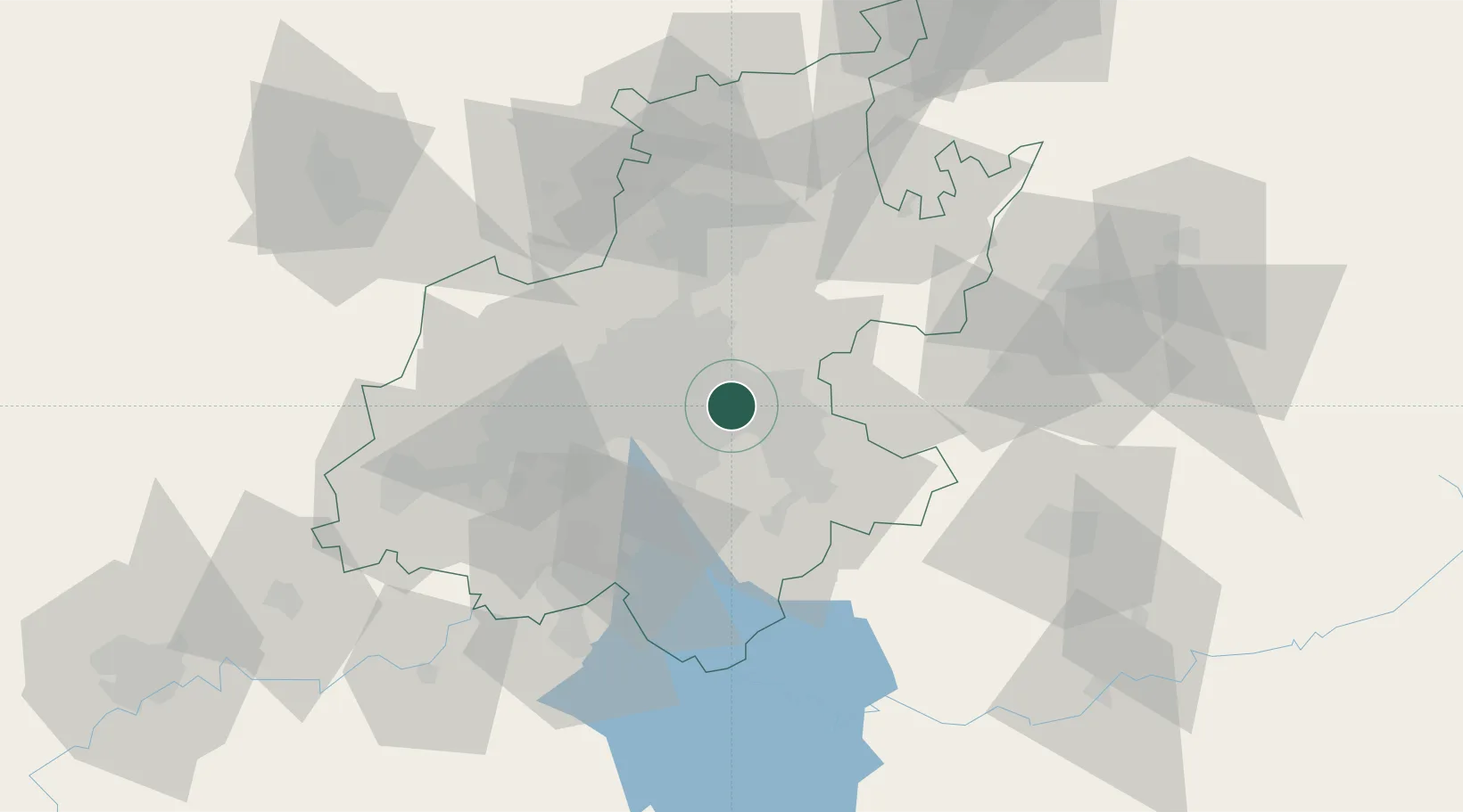
Location
Nearby Logistics Neighbours
Cities
- 1Jet Park5 km
- 2Witfield7 km
- 3Bonaero Park9 km
- 4Primrose10 km
- 5Bedfordview12 km
Ports
- 1Maputo428 km
- 2Richards Bay476 km
- 3Durban492 km
- 4East London761 km
- 5Inhambane762 km
Airports
- 1O.R. Tambo International Airport7 km
- 2Rand Airport12 km
- 3Grand Central Airport27 km
- 4Waterkloof Air Force Base41 km
- 5Swartkop Air Force Base45 km
DatabookThe Record of Consolidated Knowledge
South Africa beyond logistics?