Transport Functions
Port
Hub Profile
Place type
Populated place
Region
Gauteng
Time zone
Africa/Johannesburg
Elevation
1,703 m
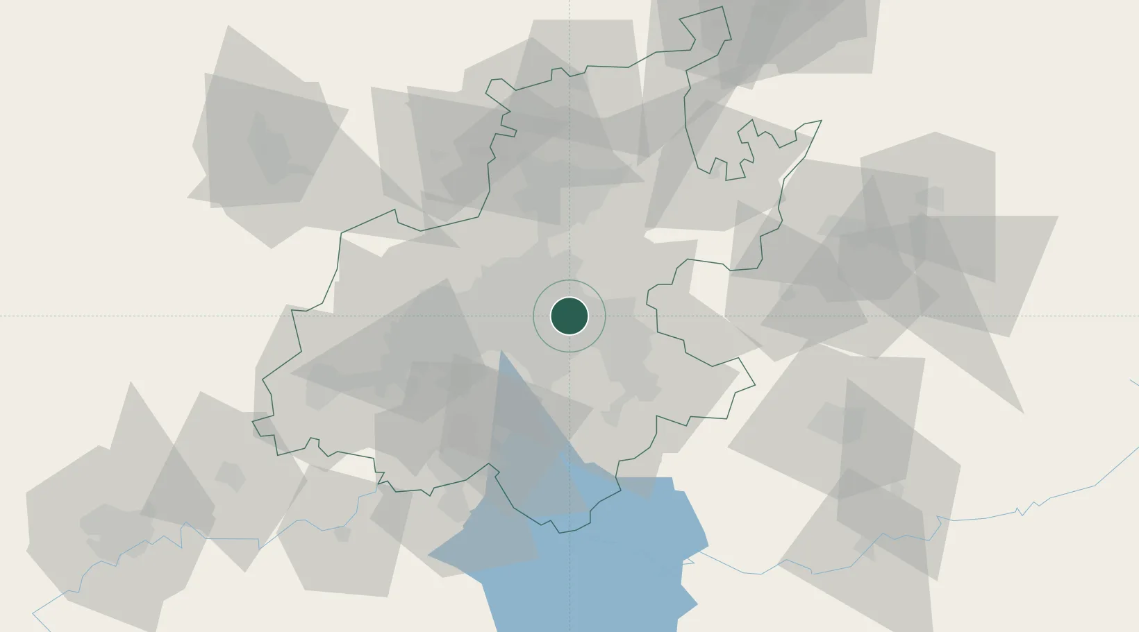
Location
Nearby Logistics Neighbours
Cities
- 1Witfield4 km
- 2Dunswart/Boksburg5 km
- 3Bonaero Park6 km
- 4Primrose7 km
- 5Bedfordview8 km
Ports
- 1Maputo431 km
- 2Richards Bay481 km
- 3Durban497 km
- 4Inhambane764 km
- 5East London764 km
Airports
DatabookThe Record of Consolidated Knowledge
South Africa beyond logistics?