UN/LOCODE hub · South Africa
ZAZAM

Bonaero Park

-26.1167°, 28.2500°
1
Transport functions

Transport Functions

Multimodal
UN/LOCODE

Hub Profile

Place type
Populated place
GeoNames
Region
Gauteng
GeoNames
Time zone
Africa/Johannesburg
GeoNames
Elevation
1,674 m
GeoNames

Location

Location of ZAZAM
Natural Earth 10m (public domain) · Gauteng · ZAZAM · -26.12, 28.25GoogleOSMYandex

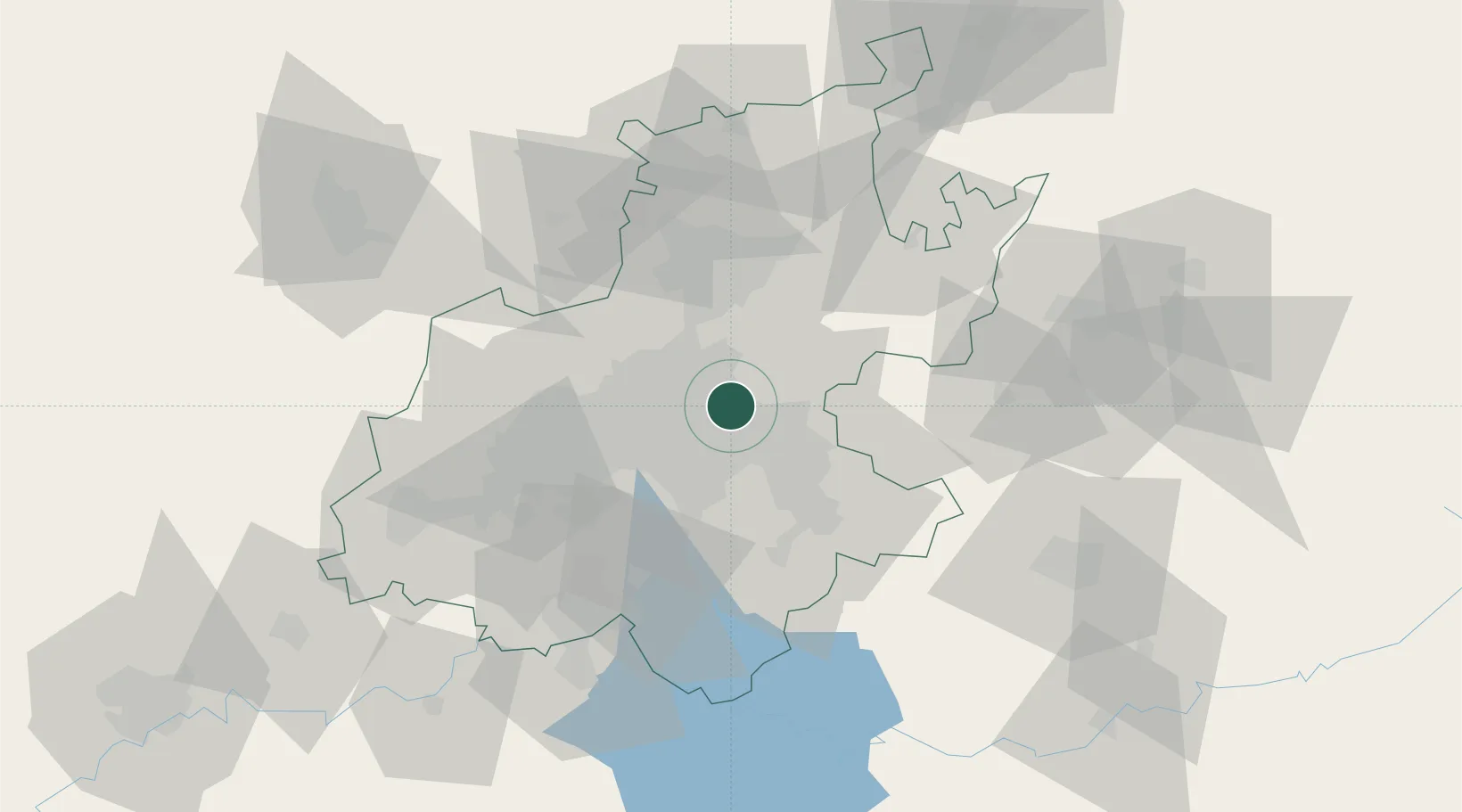
Nearby Logistics Neighbours

Cities
  1. 1Jet Park6 km
  2. 2Witfield9 km
  3. 3Dunswart/Boksburg9 km
  4. 4Modderfontein10 km
  5. 5Primrose11 km
Nearest neighbours — logibook spatial index (haversine) over the source coordinates
Ports
  1. 1Maputo429 km
  2. 2Richards Bay484 km
  3. 3Durban500 km
  4. 4Inhambane761 km
  5. 5East London770 km
Nearest neighbours — logibook spatial index (haversine) over the source coordinates
Airports
  1. 1O.R. Tambo International Airport3 km
  2. 2Rand Airport17 km
  3. 3Grand Central Airport18 km
  4. 4Waterkloof Air Force Base32 km
  5. 5Swartkop Air Force Base35 km
Nearest neighbours — logibook spatial index (haversine) over the source coordinates
Trade Zones
  1. 1OR Tambo Industrial Development Zone3 km
  2. 2Tshwane Automotive Industrial Zone44 km
  3. 3Vaal Special Economic Zone77 km
  4. 4Babelegi Industrial Park85 km
  5. 5Bojanala (Platinum Valley) Special Economic Zone136 km
Nearest neighbours — logibook spatial index (haversine) over the source coordinates
DatabookThe Record of Consolidated Knowledge
South Africa beyond logistics?
Browse databook

All Sources

LocationsUN/LOCODE
UN/LOCODE — free
Portsthe NGA World Port Index
Public domain (US gov)
AirportsOurAirports
Public domain
Trade Zonesthe World Bank SEZ database
CC BY 4.0
Trade ZonesOpen Zone Map
CC BY
← South Africa locations