Transport Functions
Multimodal
Hub Profile
Place type
Urban district
Region
KwaZulu-Natal
Time zone
Africa/Johannesburg
Elevation
98 m
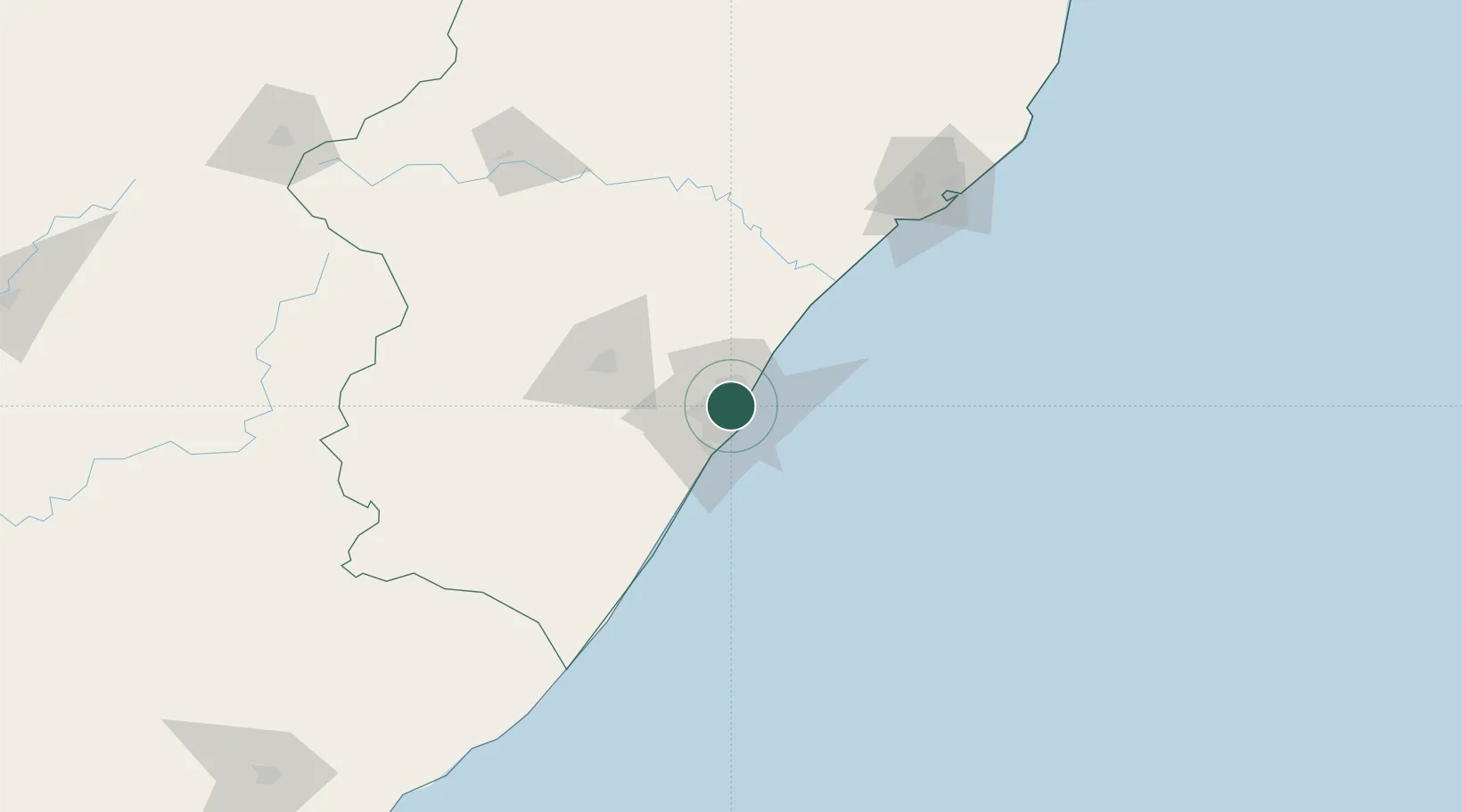
Location
Nearby Logistics Neighbours
Cities
- 1Stamford Hill3 km
- 2Westville5 km
- 3Reservoir Hills5 km
- 4Glenwood6 km
- 5Congella6 km
Ports
- 1Durban10 km
- 2Richards Bay156 km
- 3Maputo455 km
- 4East London461 km
- 5Port Elizabeth682 km
Airports
- 1Virginia Airport9 km
- 2King Shaka International Airport26 km
- 3Pietermaritzburg Airport59 km
- 4Margate Airport131 km
- 5Richards Bay Airport161 km
Trade Zones
- 1Dube TradePort24 km
- 2Dube AgriZone25 km
- 3Dube TradeZone27 km
- 4Durban Aerotropolis29 km
- 5Isithebe Industrial Park90 km
DatabookThe Record of Consolidated Knowledge
South Africa beyond logistics?