Transport Functions
Multimodal
Hub Profile
Place type
Populated place
Region
KwaZulu-Natal
Time zone
Africa/Johannesburg
Elevation
228 m
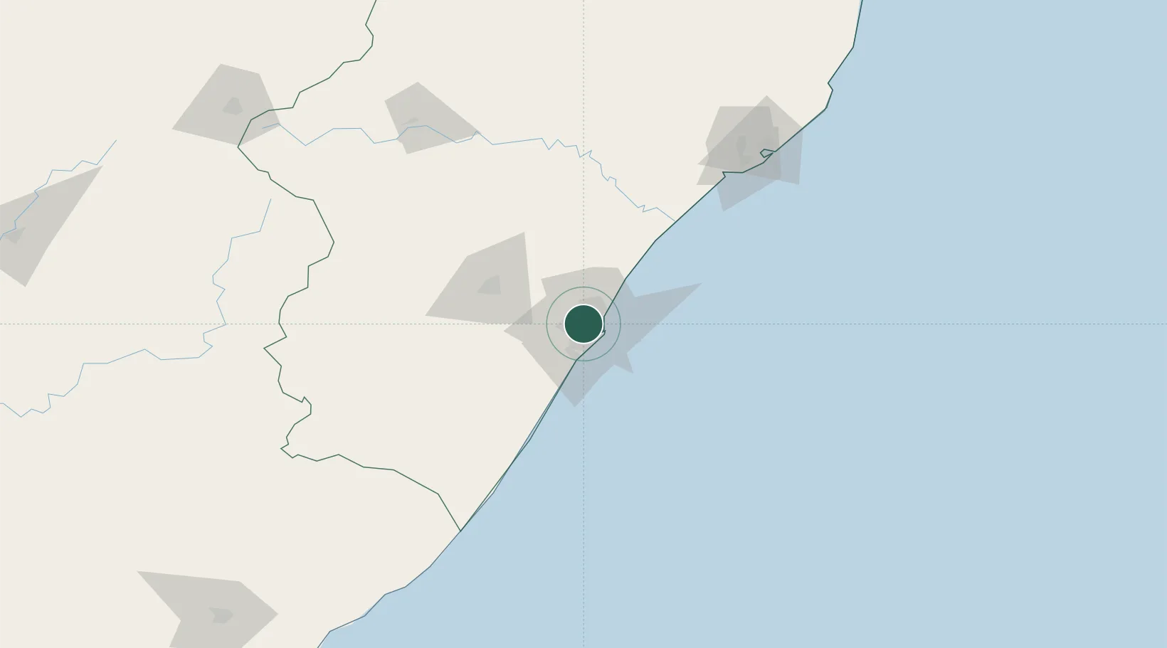
Location
Nearby Logistics Neighbours
Cities
- 1Reservoir Hills4 km
- 2Escombe5 km
- 3Sydenham5 km
- 4Glenwood6 km
- 5New Germany6 km
Ports
- 1Durban13 km
- 2Richards Bay160 km
- 3East London457 km
- 4Maputo459 km
- 5Port Elizabeth678 km
Airports
- 1Virginia Airport14 km
- 2King Shaka International Airport30 km
- 3Pietermaritzburg Airport56 km
- 4Margate Airport127 km
- 5Richards Bay Airport166 km
Trade Zones
- 1Dube TradePort28 km
- 2Dube AgriZone29 km
- 3Dube TradeZone31 km
- 4Durban Aerotropolis33 km
- 5Isithebe Industrial Park94 km
DatabookThe Record of Consolidated Knowledge
South Africa beyond logistics?