Transport Functions
Multimodal
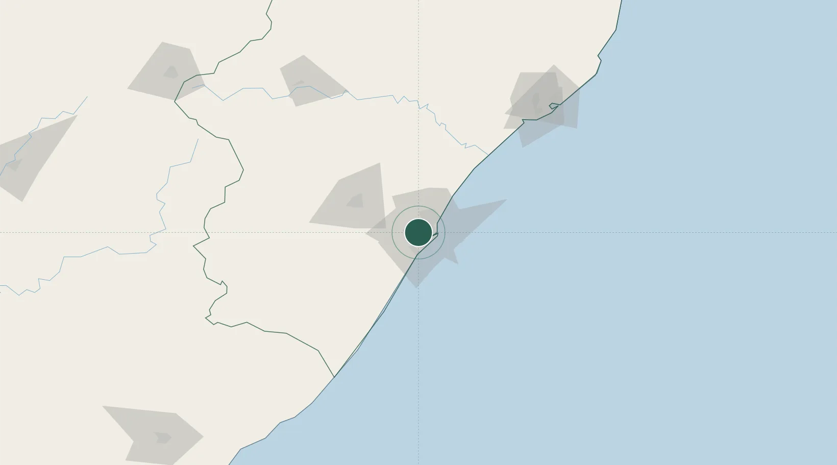
Hub Profile
Place type
Populated place
Region
KwaZulu-Natal
Time zone
Africa/Johannesburg
Elevation
195 m
Location
Nearby Logistics Neighbours
Cities
- 1Westville5 km
- 2Merebank East6 km
- 3New Germany8 km
- 4Glenwood8 km
- 5Reservoir Hills8 km
Ports
- 1Durban16 km
- 2Richards Bay165 km
- 3East London452 km
- 4Maputo463 km
- 5Port Elizabeth673 km
Airports
- 1Virginia Airport19 km
- 2King Shaka International Airport35 km
- 3Pietermaritzburg Airport54 km
- 4Margate Airport122 km
- 5Richards Bay Airport170 km
Trade Zones
- 1Dube TradePort33 km
- 2Dube AgriZone34 km
- 3Dube TradeZone36 km
- 4Durban Aerotropolis38 km
- 5Isithebe Industrial Park99 km
DatabookThe Record of Consolidated Knowledge
South Africa beyond logistics?