Transport Functions
Rail
Road
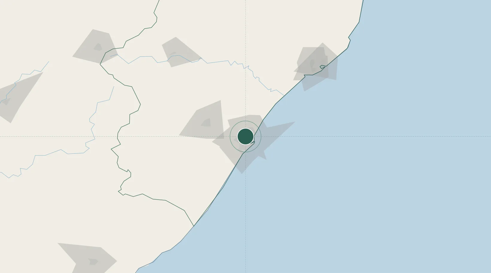
Hub Profile
Place type
Populated place
Region
KwaZulu-Natal
Time zone
Africa/Johannesburg
Elevation
168 m
Location
Nearby Logistics Neighbours
Cities
- 1Westville4 km
- 2New Germany5 km
- 3Sydenham5 km
- 4Kwamashu7 km
- 5Escombe8 km
Ports
- 1Durban15 km
- 2Richards Bay158 km
- 3Maputo455 km
- 4East London460 km
- 5Port Elizabeth680 km
Airports
- 1Virginia Airport13 km
- 2King Shaka International Airport27 km
- 3Pietermaritzburg Airport54 km
- 4Margate Airport131 km
- 5Richards Bay Airport163 km
Trade Zones
- 1Dube TradePort25 km
- 2Dube AgriZone26 km
- 3Dube TradeZone28 km
- 4Durban Aerotropolis30 km
- 5Isithebe Industrial Park91 km
DatabookThe Record of Consolidated Knowledge
South Africa beyond logistics?