Transport Functions
Multimodal
Hub Profile
Place type
Populated place
Region
Free State
Time zone
Africa/Johannesburg
Elevation
1,410 m
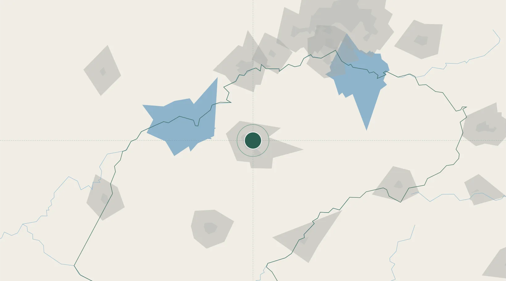
Location
Nearby Logistics Neighbours
Cities
- 1Viljoenskroon79 km
- 2Marquard103 km
- 3Parys129 km
- 4Potchefstroom136 km
- 5Roodekop141 km
Ports
- 1Durban467 km
- 2Richards Bay526 km
- 3East London579 km
- 4Maputo608 km
- 5Port Elizabeth680 km
Airports
- 1P C Pelser Airport117 km
- 2Bram Fischer International Airport140 km
- 3Potchefstroom Airport141 km
- 4Ficksburg Sentraoes Airport147 km
- 5Moshoeshoe I International Airport186 km
Trade Zones
- 1Botshabelo Industrial Park144 km
- 2Nyenye Industrial Area154 km
- 3Vaal Special Economic Zone170 km
- 4Thetsane Industrial Area170 km
- 5Mafeteng Special Economic Zone214 km
DatabookThe Record of Consolidated Knowledge
South Africa beyond logistics?