UN/LOCODE hub · South Africa
ZAZDL

Merebank East

-29.9167°, 30.9333°
1
Transport functions

Transport Functions

Multimodal
UN/LOCODE

Hub Profile

Region
NL
GeoNames

Location

Location of ZAZDL
Natural Earth 10m (public domain) · NL · ZAZDL · -29.92, 30.93GoogleOSMYandex

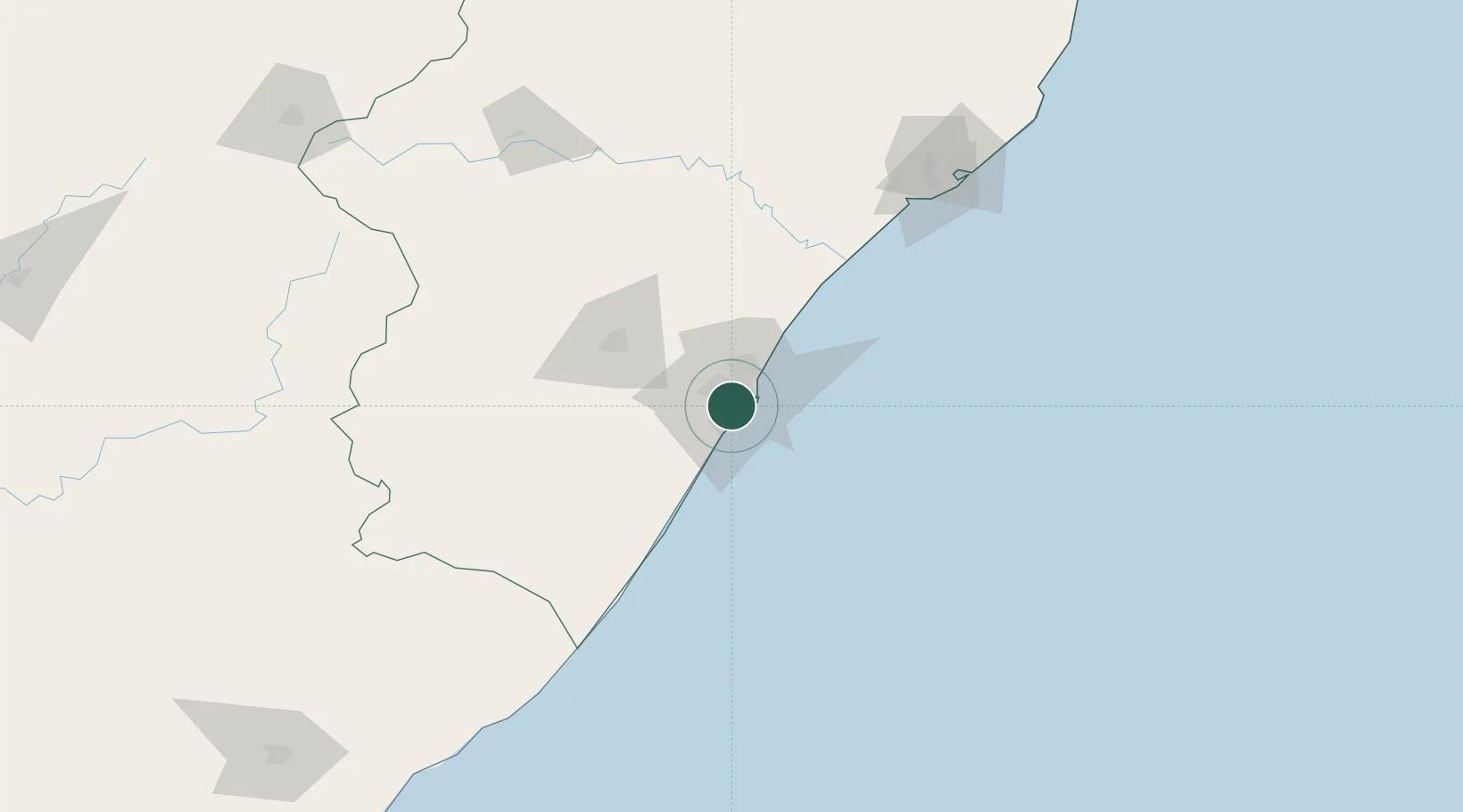
Nearby Logistics Neighbours

Cities
  1. 1Mobeni4 km
  2. 2Durban5 km
  3. 3Clairwood5 km
  4. 4Jacobs5 km
  5. 5Umbilo5 km
Nearest neighbours — logibook spatial index (haversine) over the source coordinates
Ports
  1. 1Durban14 km
  2. 2Richards Bay167 km
  3. 3East London449 km
  4. 4Maputo467 km
  5. 5Port Elizabeth671 km
Nearest neighbours — logibook spatial index (haversine) over the source coordinates
Airports
  1. 1Virginia Airport20 km
  2. 2King Shaka International Airport38 km
  3. 3Pietermaritzburg Airport60 km
  4. 4Margate Airport119 km
  5. 5Richards Bay Airport172 km
Nearest neighbours — logibook spatial index (haversine) over the source coordinates
Trade Zones
  1. 1Dube TradePort36 km
  2. 2Dube AgriZone37 km
  3. 3Dube TradeZone39 km
  4. 4Durban Aerotropolis42 km
  5. 5Isithebe Industrial Park102 km
Nearest neighbours — logibook spatial index (haversine) over the source coordinates
DatabookThe Record of Consolidated Knowledge
South Africa beyond logistics?
Browse databook

All Sources

LocationsUN/LOCODE
UN/LOCODE — free
Portsthe NGA World Port Index
Public domain (US gov)
AirportsOurAirports
Public domain
Trade Zonesthe World Bank SEZ database
CC BY 4.0
Trade ZonesOpen Zone Map
CC BY
← South Africa locations