Medium airport · South Africa

Johan Pienaar AirportFAKU
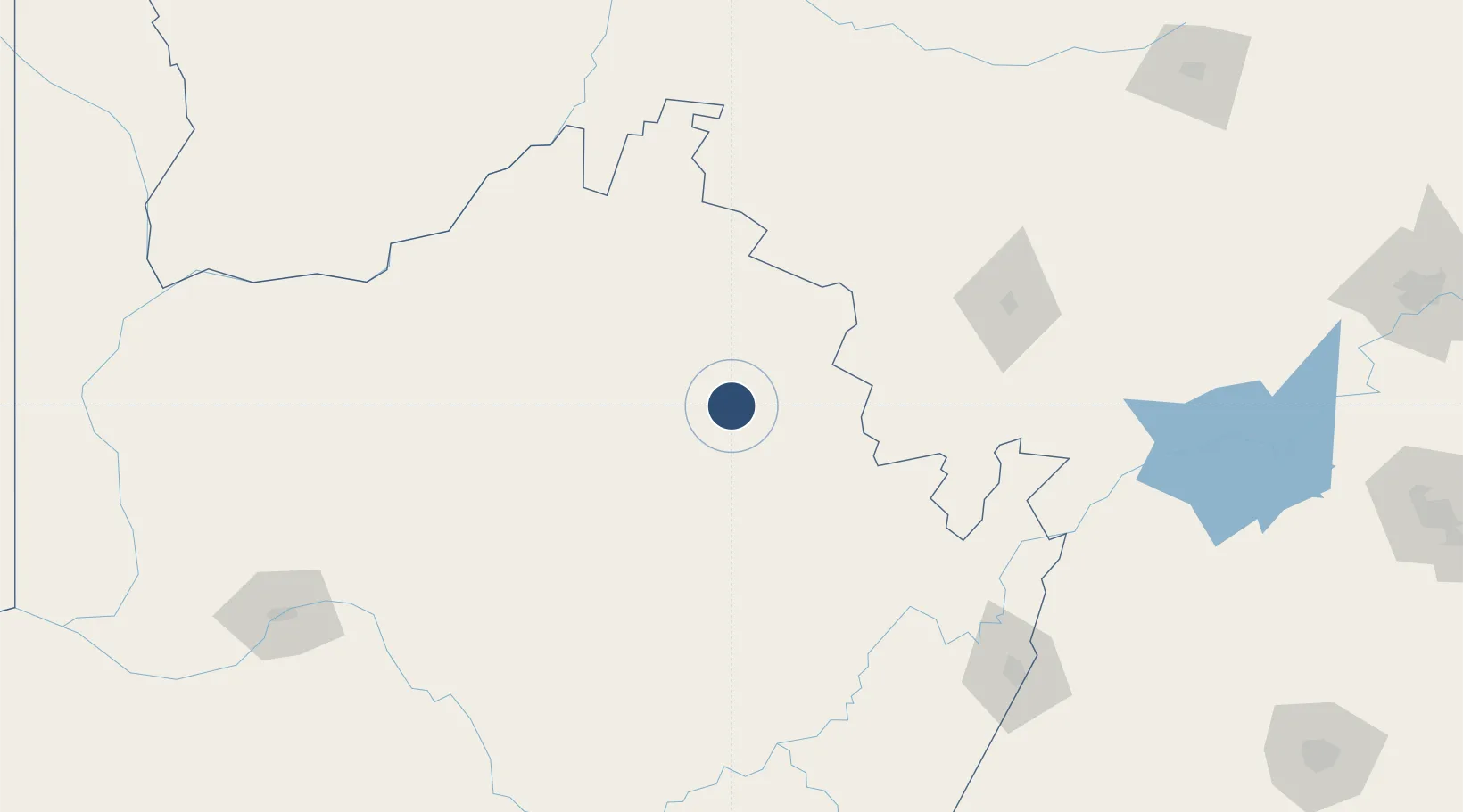
-27.4567°, 23.4114°
5,578 ft
Longest runway
1
Runways
4,382 ft
Elevation

Runway & Layout

Johan Pienaar Airport runway & taxiway layout
Runway & taxiway layout — OpenStreetMap (ODbL) / OurAirports

Navaids

KUR NDB Kuruman 353 kHz
OurAirports

Runways · 1

RunwayDimensions SurfaceTrue headingLit
02/20 5,578 × 49ft Asphalt 004°
OurAirports

Airport Specifications

IATA code
KMH
OurAirports
ICAO code
FAKU
OurAirports
Airport class
Medium airport
OurAirports
Scheduled service
No
OurAirports
Runway surface
Asphalt
OurAirports
Served city
Kuruman
OurAirports

Location

Location of FAKU
Natural Earth 10m (public domain) · Northern Cape · FAKU · -27.46, 23.41GoogleOSMYandex

Nearby Logistics Neighbours

Airports
  1. 1Sishen Airport46 km
  2. 2Lime Acres Finsch Mine Airport101 km
  3. 3Vryburg Airport141 km
  4. 4Kimberley Airport200 km
  5. 5Upington Airport236 km
Nearest neighbours — logibook spatial index (haversine) over the source coordinates
Cities
  1. 1Maseru126 km
  2. 2Hartswater143 km
  3. 3Pelindaba181 km
  4. 4Lerato299 km
  5. 5East End311 km
Nearest neighbours — logibook spatial index (haversine) over the source coordinates
Ports
  1. 1Port Elizabeth753 km
  2. 2East London756 km
  3. 3Mossel Bay757 km
  4. 4Durban793 km
  5. 5Saldanha Bay811 km
Nearest neighbours — logibook spatial index (haversine) over the source coordinates
Trade Zones
  1. 1Upington Special Economic Zone240 km
  2. 2Mafikeng (Mahikeng) Industrial development Zone301 km
  3. 3Lobatse Special Economic Zone338 km
  4. 4Botshabelo Industrial Park376 km
  5. 5Gaborone Fairgrounds Special Economic Zone398 km
Nearest neighbours — logibook spatial index (haversine) over the source coordinates
DatabookThe Record of Consolidated Knowledge
South Africa beyond logistics?
Browse databook

All Sources

AirportsOurAirports
Public domain
Portsthe NGA World Port Index
Public domain (US gov)
LocationsUN/LOCODE
UN/LOCODE — free
Trade Zonesthe World Bank SEZ database
CC BY 4.0
Trade ZonesOpen Zone Map
CC BY
InfrastructureOpenStreetMap
ODbL 1.0
← South Africa airports