Medium airport · South Africa
Sishen AirportFASS
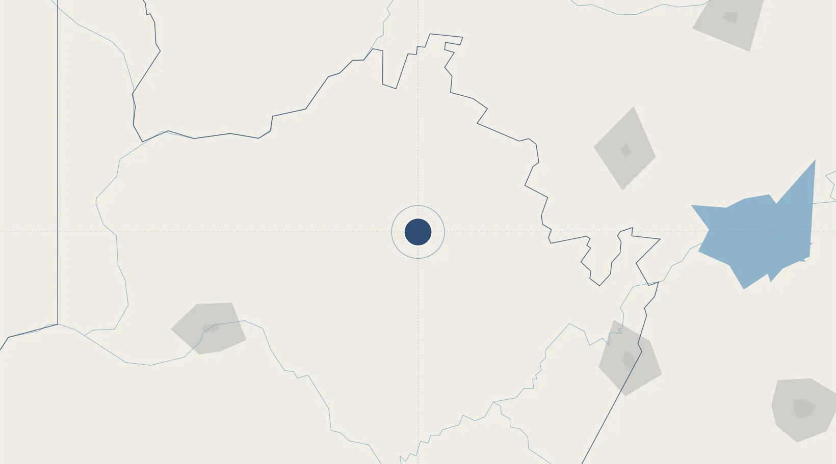
-27.6486°, 22.9993°
5,709 ft
Longest runway
1
Runways
3,848 ft
Elevation
Runway & Layout

Radio Frequencies
CTAF
123.5 MHz
Navaids
SS NDB Sishen 273 kHz
Runways · 1
| Runway | Dimensions | Surface | True heading | Lit |
|---|---|---|---|---|
| 17/35 | 5,709 × 75ft | Asphalt | 153° | ✓ |
Airport Specifications
IATA code
SIS
ICAO code
FASS
Airport class
Medium airport
Scheduled service
Yes
Runway surface
Asphalt
Served city
Sishen
Location
Nearby Logistics Neighbours
Airports
- 1Johan Pienaar Airport46 km
- 2Lime Acres Finsch Mine Airport90 km
- 3Vryburg Airport186 km
- 4Upington Airport190 km
- 5Kimberley Airport216 km
Cities
- 1Maseru137 km
- 2Pelindaba179 km
- 3Hartswater179 km
- 4Lerato258 km
- 5Kayalami337 km
Ports
- 1Mossel Bay730 km
- 2Port Elizabeth745 km
- 3East London762 km
- 4Saldanha Bay769 km
- 5Luderitz Bay784 km
Trade Zones
DatabookThe Record of Consolidated Knowledge
South Africa beyond logistics?