UN/LOCODE hub · South Africa
ZAZBC
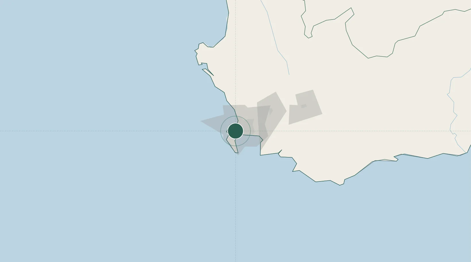
Constantia
-34.0167°, 18.4500°
6,922
Population
1
Transport functions
Transport Functions
Multimodal
Hub Profile
Place type
Populated place
Region
Western Cape
Population
6,922
Time zone
Africa/Johannesburg
Elevation
91 m
Location
Nearby Logistics Neighbours
Cities
- 1Dieprivier2 km
- 2Ottery3 km
- 3Retreat4 km
- 4Bishopscourt4 km
- 5Lansdowne5 km
Ports
- 1Cape Town12 km
- 2Simonstown19 km
- 3Saldanha Bay118 km
- 4Mossel Bay341 km
- 5Port Elizabeth663 km
Airports
- 1Ysterplaat Air Force Base14 km
- 2Cape Town International Airport15 km
- 3Langebaanweg Airport120 km
- 4Saldanha/Vredenburg Airport125 km
- 5Robertson Airport136 km
Trade Zones
DatabookThe Record of Consolidated Knowledge
South Africa beyond logistics?