UN/LOCODE hub · South Africa
ZAKRI

Kriel

-26.2667°, 29.2333°
18,255
Population
2
Transport functions

Transport Functions

Road
Multimodal
UN/LOCODE

Hub Profile

Place type
Populated place
GeoNames
Region
Mpumalanga
GeoNames
Population
18,255
GeoNames
Time zone
Africa/Johannesburg
GeoNames
Elevation
1,562 m
GeoNames

Location

Location of ZAKRI
Natural Earth 10m (public domain) · Mpumalanga · ZAKRI · -26.27, 29.23GoogleOSMYandex

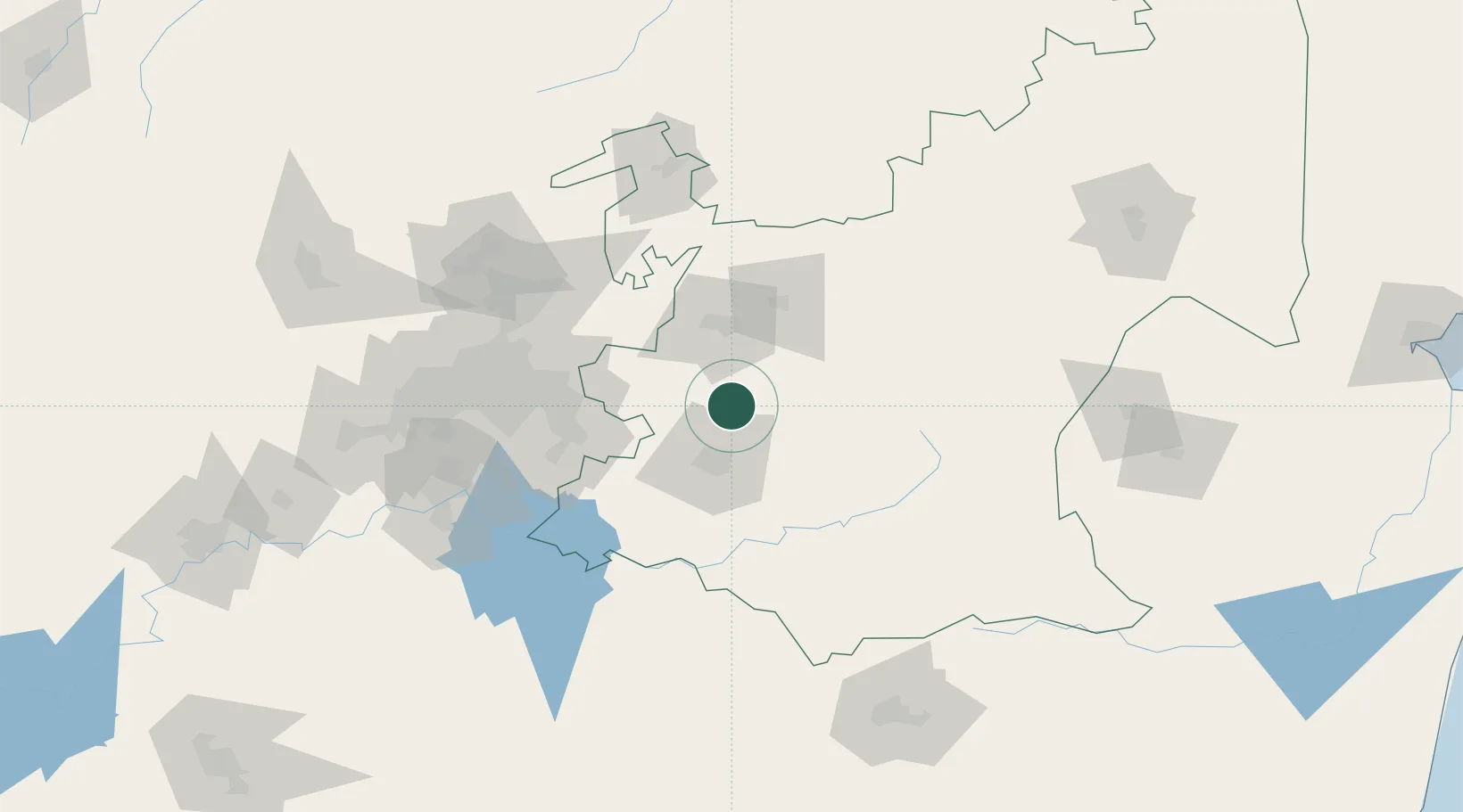
Nearby Logistics Neighbours

Cities
  1. 1Strubenvale49 km
  2. 2Bronkhorstspruit71 km
  3. 3Robertville71 km
  4. 4Nigel78 km
  5. 5Ermelo80 km
Nearest neighbours — logibook spatial index (haversine) over the source coordinates
Ports
  1. 1Maputo332 km
  2. 2Richards Bay400 km
  3. 3Durban439 km
  4. 4Inhambane674 km
  5. 5East London763 km
Nearest neighbours — logibook spatial index (haversine) over the source coordinates
Airports
  1. 1Secunda Airport29 km
  2. 2Ermelo Airport79 km
  3. 3O.R. Tambo International Airport99 km
  4. 4Rand Airport108 km
  5. 5Waterkloof Air Force Base112 km
Nearest neighbours — logibook spatial index (haversine) over the source coordinates
Trade Zones
  1. 1OR Tambo Industrial Development Zone97 km
  2. 2Tshwane Automotive Industrial Zone109 km
  3. 3Babelegi Industrial Park140 km
  4. 4Vaal Special Economic Zone142 km
  5. 5Tubatse Special Economic Zone186 km
Nearest neighbours — logibook spatial index (haversine) over the source coordinates
DatabookThe Record of Consolidated Knowledge
South Africa beyond logistics?
Browse databook

All Sources

LocationsUN/LOCODE
UN/LOCODE — free
LocationsGeoNames
CC BY 4.0
Portsthe NGA World Port Index
Public domain (US gov)
AirportsOurAirports
Public domain
Trade Zonesthe World Bank SEZ database
CC BY 4.0
Trade ZonesOpen Zone Map
CC BY
← South Africa locations