Transport Functions
Rail
Road
Postal
Hub Profile
Place type
District seat
Region
Mpumalanga
Population
100,324
Time zone
Africa/Johannesburg
Elevation
1,700 m
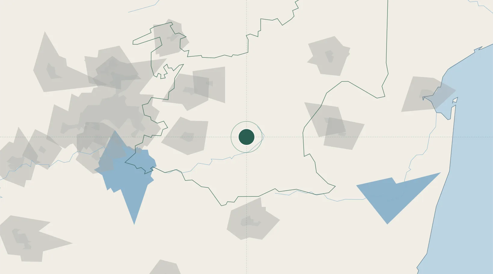
Location
Nearby Logistics Neighbours
Cities
- 1Lothair48 km
- 2Kriel80 km
- 3Piet Retief96 km
- 4Robertville109 km
- 5Motshane117 km
Ports
- 1Maputo263 km
- 2Richards Bay328 km
- 3Durban386 km
- 4Inhambane618 km
- 5East London750 km
Airports
- 1Ermelo Airport4 km
- 2Secunda Airport81 km
- 3Matsapha International Airport132 km
- 4Barberton Airport134 km
- 5Newcastle Airport138 km
Trade Zones
DatabookThe Record of Consolidated Knowledge
South Africa beyond logistics?