Medium airport · South Africa
Secunda AirportFASC
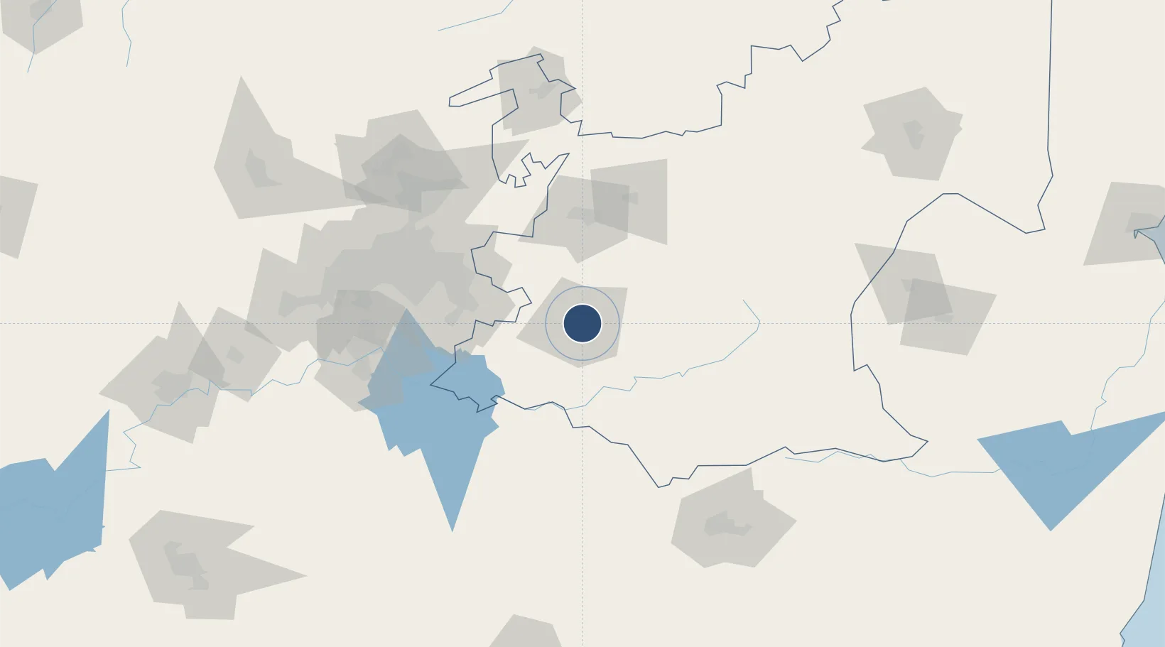
-26.5241°, 29.1701°
3,609 ft
Longest runway
1
Runways
5,250 ft
Elevation
Runway & Layout

Radio Frequencies
ATIS
121 MHz
CTAF
122 MHz
Navaids
SC NDB Secunda 407 kHz
SU NDB Secunda 243 kHz
Runways · 1
| Runway | Dimensions | Surface | True heading | Lit |
|---|---|---|---|---|
| 11/29 | 3,609 × 59ft | Asphalt | 091° | ✓ |
Airport Specifications
IATA code
ZEC
ICAO code
FASC
Airport class
Medium airport
Scheduled service
No
Runway surface
Asphalt
Served city
Secunda
Location
Nearby Logistics Neighbours
Airports
- 1Ermelo Airport81 km
- 2O.R. Tambo International Airport101 km
- 3Rand Airport106 km
- 4Grand Central Airport119 km
- 5Vereeniging Airport120 km
Cities
- 1Kriel29 km
- 2Strubenvale42 km
- 3Robertville42 km
- 4Nigel71 km
- 5Ermelo81 km
Ports
- 1Maputo342 km
- 2Richards Bay384 km
- 3Durban416 km
- 4Inhambane690 km
- 5East London734 km
Trade Zones
DatabookThe Record of Consolidated Knowledge
South Africa beyond logistics?