Transport Functions
Multimodal
Hub Profile
Place type
Urban district
Region
Gauteng
Time zone
Africa/Johannesburg
Elevation
1,606 m
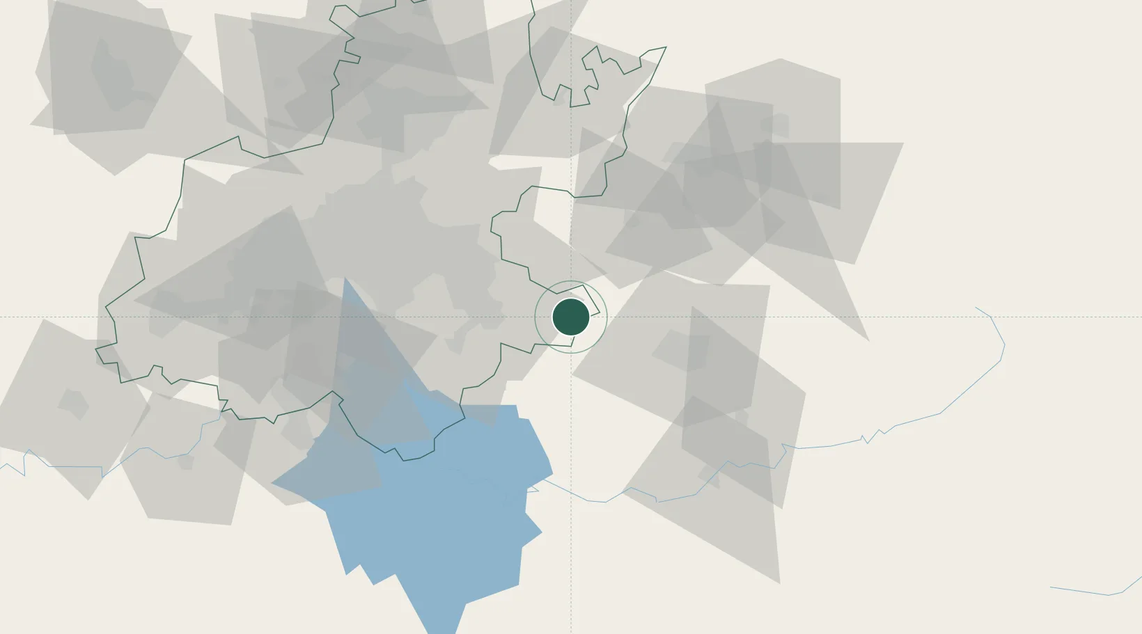
Location
Nearby Logistics Neighbours
Cities
- 1Nigel30 km
- 2Kriel49 km
- 3Robertville52 km
- 4Dunswart/Boksburg55 km
- 5Johannesburg56 km
Ports
- 1Maputo380 km
- 2Richards Bay423 km
- 3Durban445 km
- 4Inhambane723 km
- 5East London740 km
Airports
- 1Secunda Airport42 km
- 2O.R. Tambo International Airport60 km
- 3Rand Airport64 km
- 4Grand Central Airport79 km
- 5Vereeniging Airport82 km
Trade Zones
DatabookThe Record of Consolidated Knowledge
South Africa beyond logistics?