UN/LOCODE hub · South Africa
ZABHT
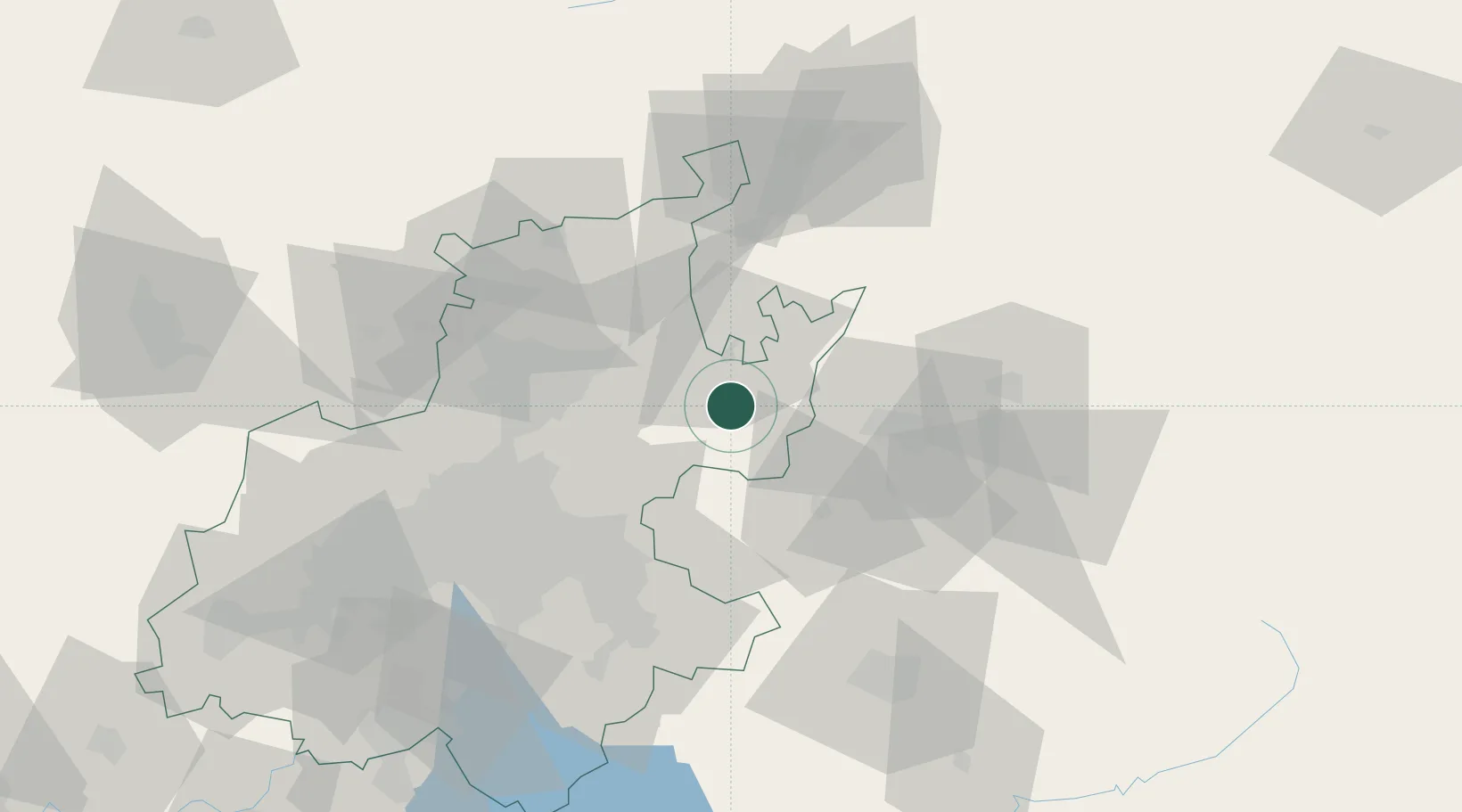
Bronkhorstspruit
-25.8167°, 28.7333°
41,209
Population
2
Transport functions
Transport Functions
Rail
Road
Hub Profile
Place type
Populated place
Region
Gauteng
Population
41,209
Time zone
Africa/Johannesburg
Elevation
1,399 m
Location
Nearby Logistics Neighbours
Cities
- 1Ekandustria13 km
- 2Cullinan27 km
- 3Bapsfontein39 km
- 4Waltloo42 km
- 5Menlo Park44 km
Ports
- 1Maputo382 km
- 2Richards Bay470 km
- 3Durban505 km
- 4Inhambane705 km
- 5East London806 km
Airports
- 1Waterkloof Air Force Base51 km
- 2Wonderboom Airport54 km
- 3Swartkop Air Force Base57 km
- 4O.R. Tambo International Airport61 km
- 5Grand Central Airport62 km
Trade Zones
DatabookThe Record of Consolidated Knowledge
South Africa beyond logistics?