Transport Functions
Multimodal
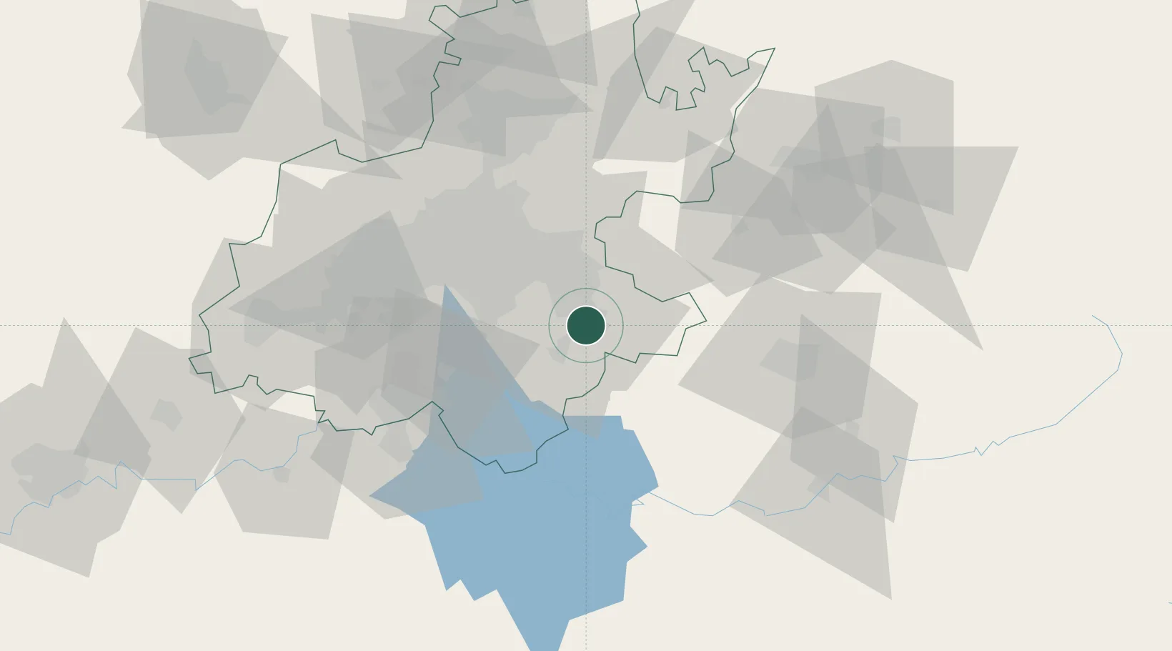
Hub Profile
Place type
Populated place
Region
Gauteng
Population
140,644
Time zone
Africa/Johannesburg
Elevation
1,566 m
Location
Nearby Logistics Neighbours
Cities
- 1Johannesburg27 km
- 2Strubenvale30 km
- 3Dunswart/Boksburg31 km
- 4Jet Park36 km
- 5Witfield37 km
Ports
- 1Maputo410 km
- 2Richards Bay446 km
- 3Durban461 km
- 4East London738 km
- 5Inhambane751 km
Airports
- 1Rand Airport37 km
- 2O.R. Tambo International Airport38 km
- 3Vereeniging Airport53 km
- 4Grand Central Airport58 km
- 5Waterkloof Air Force Base70 km
Trade Zones
DatabookThe Record of Consolidated Knowledge
South Africa beyond logistics?