UN/LOCODE hub · South Africa
ZABSX

Bishopscourt

-33.9833°, 18.4500°
1
Transport functions

Transport Functions

Multimodal
UN/LOCODE

Hub Profile

Place type
Urban district
GeoNames
Region
Western Cape
GeoNames
Time zone
Africa/Johannesburg
GeoNames
Elevation
103 m
GeoNames

Location

Location of ZABSX
Natural Earth 10m (public domain) · Western Cape · ZABSX · -33.98, 18.45GoogleOSMYandex

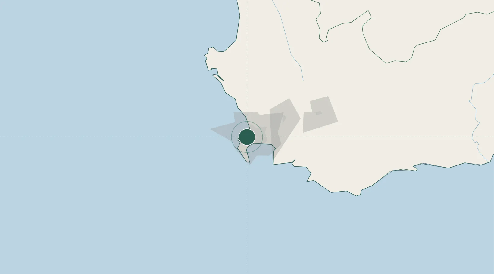
Nearby Logistics Neighbours

Cities
  1. 1Claremont2 km
  2. 2Lansdowne3 km
  3. 3Constantia4 km
  4. 4Rosebank4 km
  5. 5Ottery5 km
Nearest neighbours — logibook spatial index (haversine) over the source coordinates
Ports
  1. 1Cape Town8 km
  2. 2Simonstown23 km
  3. 3Saldanha Bay115 km
  4. 4Mossel Bay341 km
  5. 5Port Elizabeth663 km
Nearest neighbours — logibook spatial index (haversine) over the source coordinates
Airports
  1. 1Ysterplaat Air Force Base10 km
  2. 2Cape Town International Airport14 km
  3. 3Langebaanweg Airport116 km
  4. 4Saldanha/Vredenburg Airport122 km
  5. 5Robertson Airport135 km
Nearest neighbours — logibook spatial index (haversine) over the source coordinates
Trade Zones
  1. 1Atlantis Special Economic Zone44 km
  2. 2Saldanha Bay Special Economic Zone115 km
  3. 3Namakwa (Nama-Khoi) Special Economic Zone532 km
  4. 4Coega Industrial Development Zone667 km
  5. 5Upington Special Economic Zone672 km
Nearest neighbours — logibook spatial index (haversine) over the source coordinates
DatabookThe Record of Consolidated Knowledge
South Africa beyond logistics?
Browse databook

All Sources

LocationsUN/LOCODE
UN/LOCODE — free
Portsthe NGA World Port Index
Public domain (US gov)
AirportsOurAirports
Public domain
Trade Zonesthe World Bank SEZ database
CC BY 4.0
Trade ZonesOpen Zone Map
CC BY
← South Africa locations