UN/LOCODE hub · South Africa
ZARBK

Rosebank

-33.9500°, 18.4667°
10,000
Population
1
Transport functions

Transport Functions

Multimodal
UN/LOCODE

Hub Profile

Place type
Populated place
GeoNames
Region
Western Cape
GeoNames
Population
10,000
GeoNames
Time zone
Africa/Johannesburg
GeoNames
Elevation
11 m
GeoNames

Location

Location of ZARBK
Natural Earth 10m (public domain) · Western Cape · ZARBK · -33.95, 18.47GoogleOSMYandex

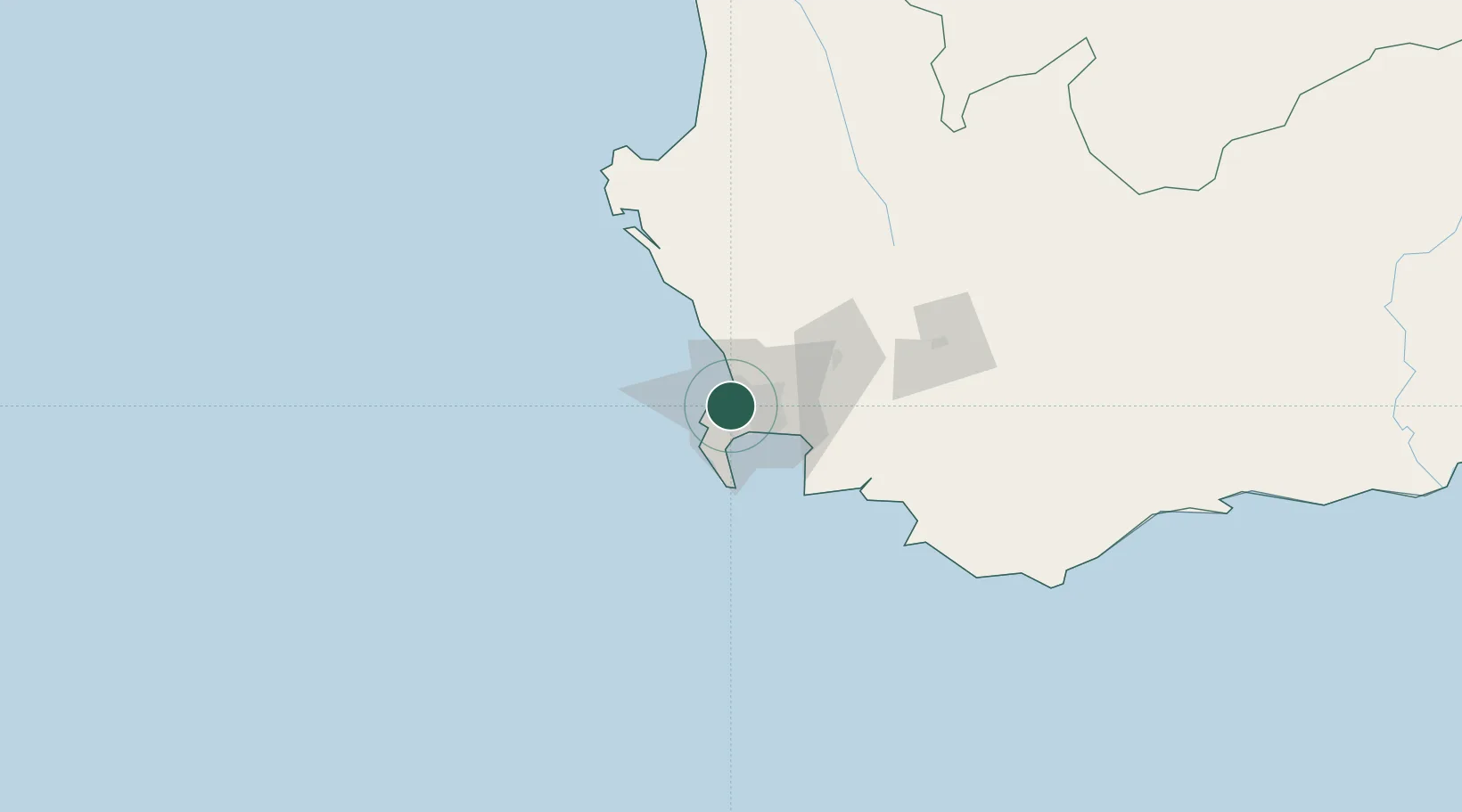
Nearby Logistics Neighbours

Cities
  1. 1Claremont2 km
  2. 2Athlone4 km
  3. 3Paardeneiland4 km
  4. 4Lansdowne4 km
  5. 5Bishopscourt4 km
Nearest neighbours — logibook spatial index (haversine) over the source coordinates
Ports
  1. 1Cape Town6 km
  2. 2Simonstown26 km
  3. 3Saldanha Bay112 km
  4. 4Mossel Bay340 km
  5. 5Port Elizabeth662 km
Nearest neighbours — logibook spatial index (haversine) over the source coordinates
Airports
  1. 1Ysterplaat Air Force Base6 km
  2. 2Cape Town International Airport13 km
  3. 3Langebaanweg Airport113 km
  4. 4Saldanha/Vredenburg Airport119 km
  5. 5Robertson Airport134 km
Nearest neighbours — logibook spatial index (haversine) over the source coordinates
Trade Zones
  1. 1Atlantis Special Economic Zone40 km
  2. 2Saldanha Bay Special Economic Zone112 km
  3. 3Namakwa (Nama-Khoi) Special Economic Zone528 km
  4. 4Coega Industrial Development Zone666 km
  5. 5Upington Special Economic Zone668 km
Nearest neighbours — logibook spatial index (haversine) over the source coordinates
DatabookThe Record of Consolidated Knowledge
South Africa beyond logistics?
Browse databook

All Sources

LocationsUN/LOCODE
UN/LOCODE — free
LocationsGeoNames
CC BY 4.0
Portsthe NGA World Port Index
Public domain (US gov)
AirportsOurAirports
Public domain
Trade Zonesthe World Bank SEZ database
CC BY 4.0
Trade ZonesOpen Zone Map
CC BY
← South Africa locations