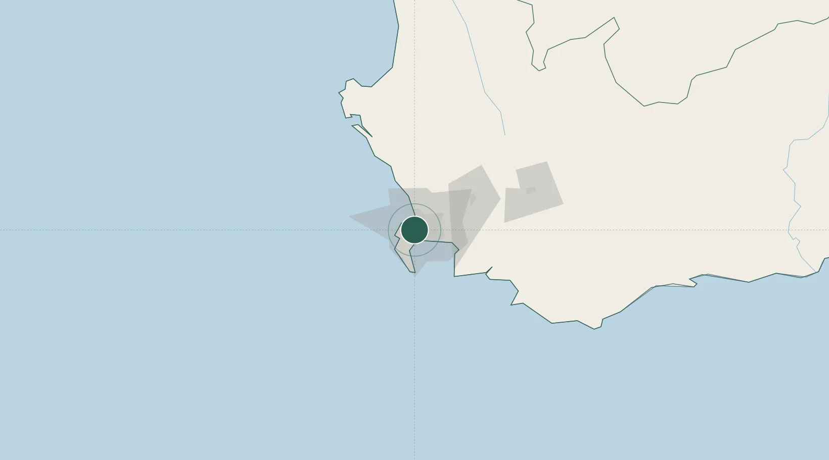
UN/LOCODE hub · South Africa
ZALDE

Lansdowne

-33.9833°, 18.4833°
17,399
Population
2
Transport functions

Transport Functions

Rail
Road
UN/LOCODE

Hub Profile

Place type
Urban district
GeoNames
Region
Western Cape
GeoNames
Population
17,399
GeoNames
Time zone
Africa/Johannesburg
GeoNames
Elevation
22 m
GeoNames

Location

Location of ZALDE
Natural Earth 10m (public domain) · Western Cape · ZALDE · -33.98, 18.48GoogleOSMYandex

Nearby Logistics Neighbours

Cities
  1. 1Claremont2 km
  2. 2Athlone2 km
  3. 3Bishopscourt3 km
  4. 4Ottery4 km
  5. 5Rosebank4 km
Nearest neighbours — logibook spatial index (haversine) over the source coordinates
Ports
  1. 1Cape Town10 km
  2. 2Simonstown23 km
  3. 3Saldanha Bay116 km
  4. 4Mossel Bay338 km
  5. 5Port Elizabeth660 km
Nearest neighbours — logibook spatial index (haversine) over the source coordinates
Airports
  1. 1Ysterplaat Air Force Base9 km
  2. 2Cape Town International Airport11 km
  3. 3Langebaanweg Airport117 km
  4. 4Saldanha/Vredenburg Airport123 km
  5. 5Robertson Airport132 km
Nearest neighbours — logibook spatial index (haversine) over the source coordinates
Trade Zones
  1. 1Atlantis Special Economic Zone44 km
  2. 2Saldanha Bay Special Economic Zone116 km
  3. 3Namakwa (Nama-Khoi) Special Economic Zone532 km
  4. 4Coega Industrial Development Zone664 km
  5. 5Upington Special Economic Zone671 km
Nearest neighbours — logibook spatial index (haversine) over the source coordinates
DatabookThe Record of Consolidated Knowledge
South Africa beyond logistics?
Browse databook

All Sources

LocationsUN/LOCODE
UN/LOCODE — free
LocationsGeoNames
CC BY 4.0
Portsthe NGA World Port Index
Public domain (US gov)
AirportsOurAirports
Public domain
Trade Zonesthe World Bank SEZ database
CC BY 4.0
Trade ZonesOpen Zone Map
CC BY
← South Africa locations