Transport Functions
Multimodal
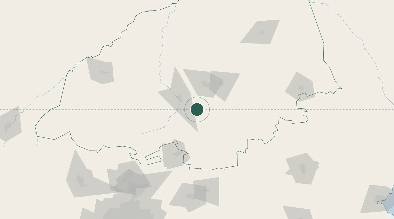
Hub Profile
Place type
Populated place
Region
Limpopo
Time zone
Africa/Johannesburg
Elevation
1,084 m
Location
Nearby Logistics Neighbours
Cities
- 1Potgietersrus33 km
- 2Jupiter58 km
- 3Mookgophong61 km
- 4Naboomspruit61 km
- 5Marble Hall69 km
Ports
- 1Maputo375 km
- 2Richards Bay571 km
- 3Inhambane622 km
- 4Durban640 km
- 5Beira760 km
Airports
DatabookThe Record of Consolidated Knowledge
South Africa beyond logistics?